Medium airport · United States
Travis Air Force BaseKSUU
38.2627°, -121.9270°
11,001 ft
Longest runway
2
Runways
62 ft
Elevation
Runway & Layout

Radio Frequencies
ATIS
116.4 MHz
TWR
120.75 MHz
GND
121.8 MHz
CLD
127.55 MHz
CLNC DEL
APP
119.9 MHz
DEP
119.9 MHz
PMSV
26.92 MHz
PMSV METRO
POST
141.9 MHz
COMD POST
PTD
28.557 MHz
UNIC
123.3 MHz
AERO CLUB UNICOM
Navaids
SUU TACAN Travis 116.60 MHz
TZZ VOR Travis 116.40 MHz
Runways · 2
| Runway | Dimensions | Surface | True heading | Lit |
|---|---|---|---|---|
| 03L/21R | 11,001 × 150ft | Asphalt / concrete | 048° | ✓ |
| 03R/21L | 10,995 × 150ft | Concrete | 048° | ✓ |
Airport Specifications
IATA code
SUU
ICAO code
KSUU
Airport class
Medium airport
Scheduled service
No
Runway surface
Asphalt / concrete
Served city
Fairfield
Location
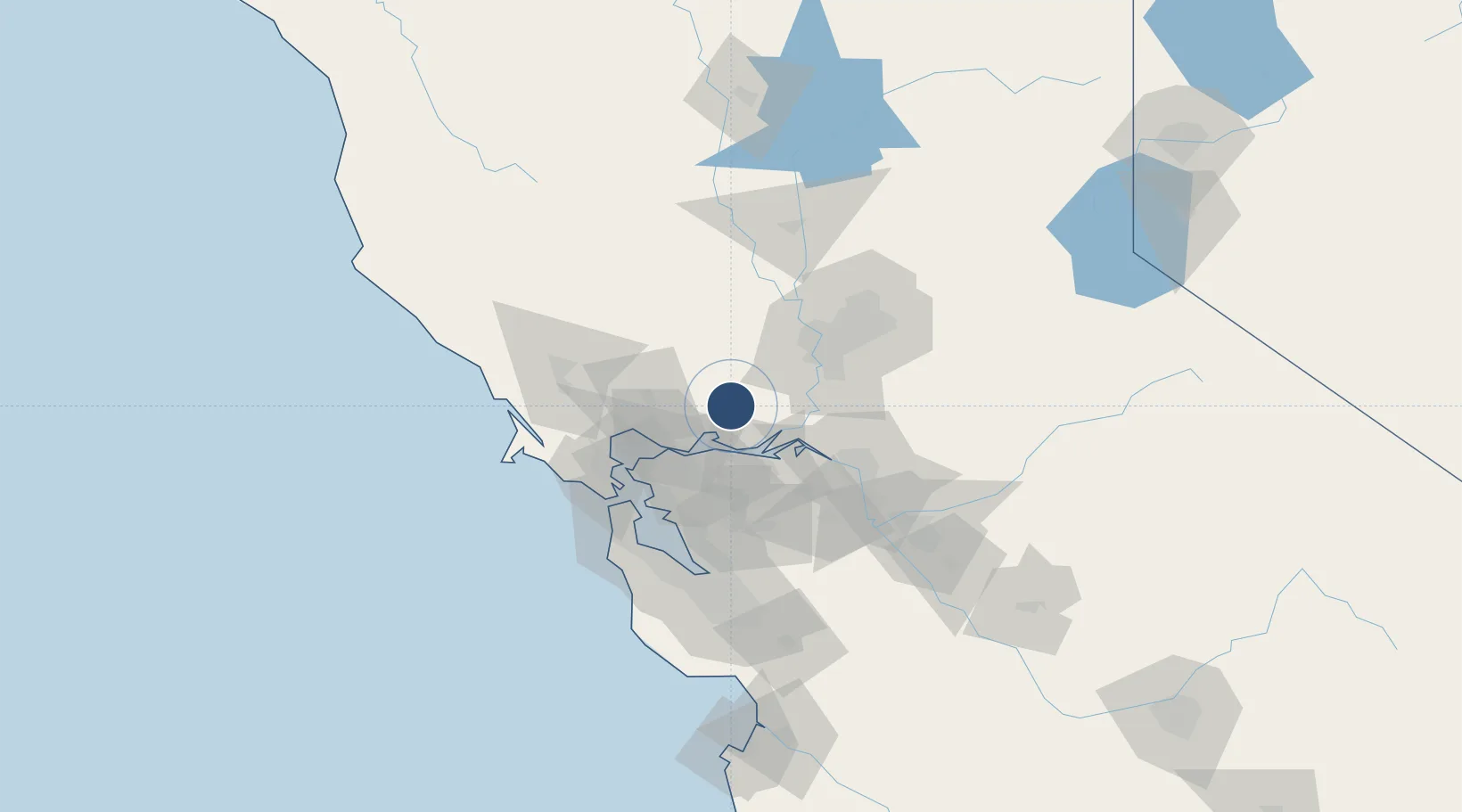
Nearby Logistics Neighbours
Airports
- 1Buchanan Field32 km
- 2Sacramento Executive Airport47 km
- 3Sacramento International Airport56 km
- 4Sacramento Mather Airport64 km
- 5McClellan Airfield64 km
Cities
- 1Cordelia19 km
- 2Port Chicago25 km
- 3Bay Point27 km
- 4Winters29 km
- 5Benicia31 km
Trade Zones
- 1FTZ No. 143 West Sacramento50 km
- 2FTZ No. 056 Oakland59 km
- 3FTZ No. 231 Stockton63 km
- 4FTZ No. 003 San Francisco66 km
- 5FTZ No. 018 San Jose103 km
DatabookThe Record of Consolidated Knowledge
United States beyond logistics?