UN/LOCODE hub · United States
USCHS
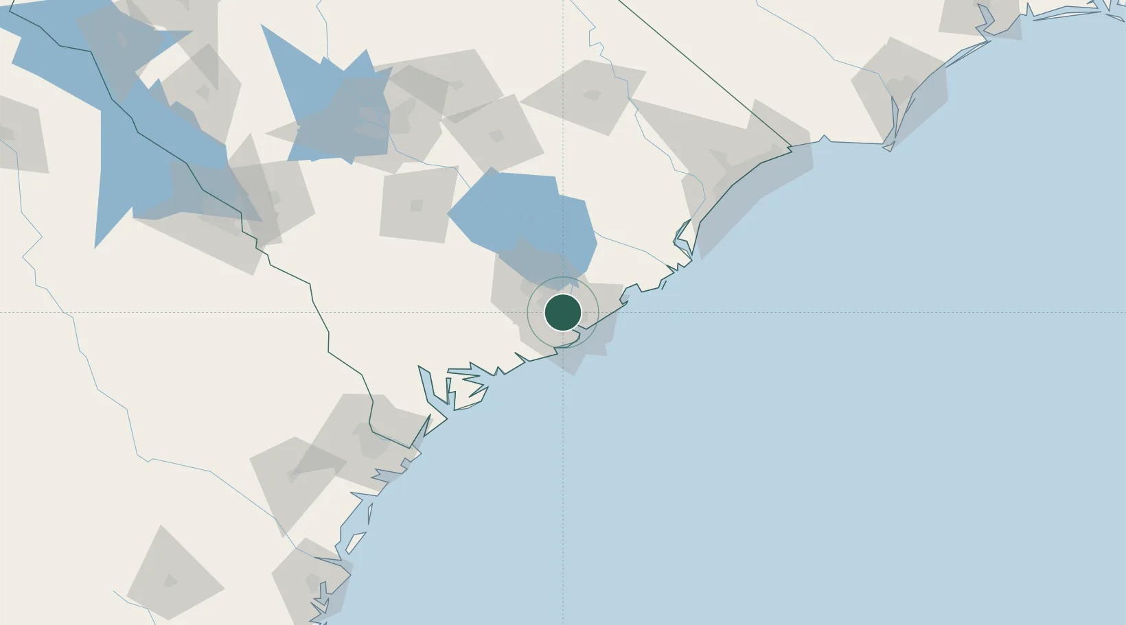
Charleston
32.8651°, -79.9715°
132,609
Population
2
Transport functions
3
Container terminals
Transport Functions
Port
Airport
Hub Profile
Place type
Provincial seat
Region
South Carolina
Population
132,609
Time zone
America/New_York
Elevation
6 m
Logistics facilities
65
Container terminals
3
Location
Nearby Logistics Neighbours
Cities
- 1Charleston Heights2 km
- 2North Charleston4 km
- 3Ravenel28 km
- 4Wadmalaw Island29 km
- 5Huger29 km
Ports
- 1Beaufort81 km
- 2Georgetown85 km
- 3Port Royal87 km
- 4Savannah136 km
- 5Southport216 km
Airports
Trade Zones
- 1FTZ No. 021 Dorchester County73 km
- 2FTZ No. 104 Savannah136 km
- 3FTZ No. 127 West Columbia165 km
- 4FTZ No. 144 Brunswick239 km
- 5FTZ No. 057 Mecklenburg County285 km
DatabookThe Record of Consolidated Knowledge
United States beyond logistics?