Runway & Layout

Airport Specifications
ICAO code
CAJ8
Airport class
Seaplane base
Scheduled service
Yes
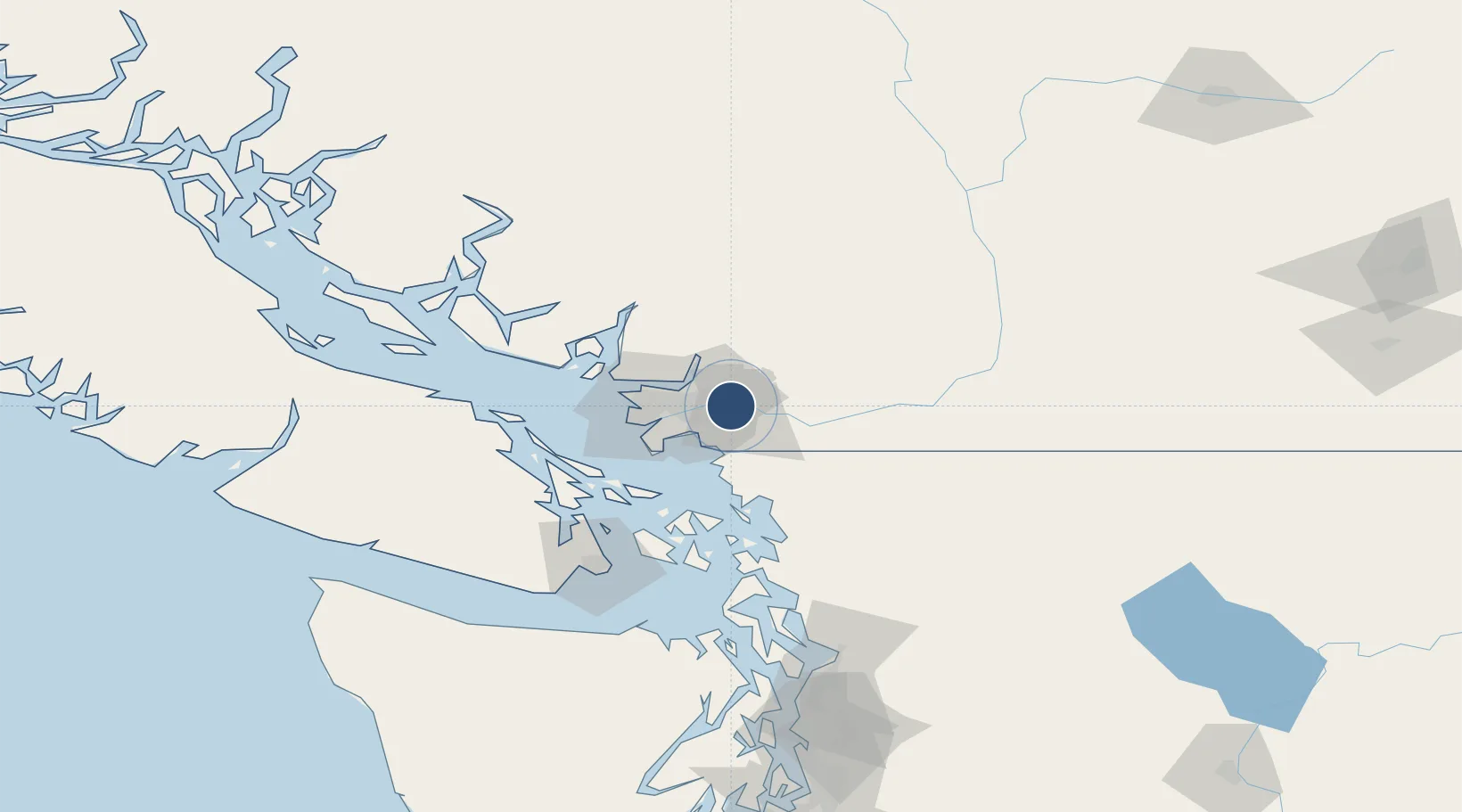
Location
Nearby Logistics Neighbours
Airports
Cities
- 1Conquitlam8 km
- 2Milner11 km
- 3Fort Langley11 km
- 4Cloverdale12 km
- 5Surrey14 km
Ports
- 1Port Coquitlam5 km
- 2Fraser Mills11 km
- 3Port Moody15 km
- 4New Westminster15 km
- 5Blaine23 km
Trade Zones
- 1FTZ Vancouver Island30 km
- 2FTZ No. 128 Whatcom County46 km
- 3FTZ No. 129 Bellingham52 km
- 4FTZ No. 085 Everett139 km
- 5FTZ No. 005 Seattle178 km
DatabookThe Record of Consolidated Knowledge
Canada beyond logistics?