Transport Functions
Port
Road
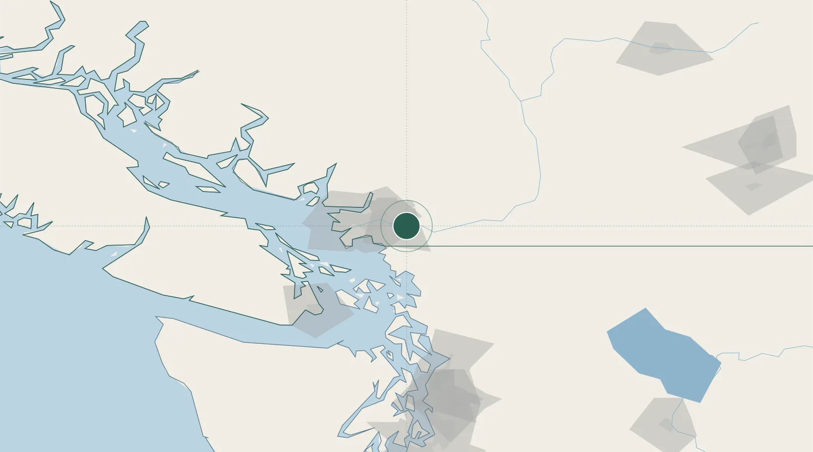
Hub Profile
Place type
Urban district
Region
British Columbia
Population
3,400
Time zone
America/Vancouver
Elevation
2 m
Location
Nearby Logistics Neighbours
Cities
- 1Milner5 km
- 2Langley7 km
- 3Cloverdale14 km
- 4Conquitlam20 km
- 5Mission20 km
Ports
- 1Port Coquitlam16 km
- 2Fraser Mills22 km
- 3Mission City23 km
- 4Blaine23 km
- 5New Westminster26 km
Airports
Trade Zones
- 1FTZ No. 128 Whatcom County39 km
- 2FTZ Vancouver Island41 km
- 3FTZ No. 129 Bellingham46 km
- 4FTZ No. 085 Everett132 km
- 5FTZ No. 005 Seattle173 km
DatabookThe Record of Consolidated Knowledge
Canada beyond logistics?