Transport Functions
Rail
Road
Hub Profile
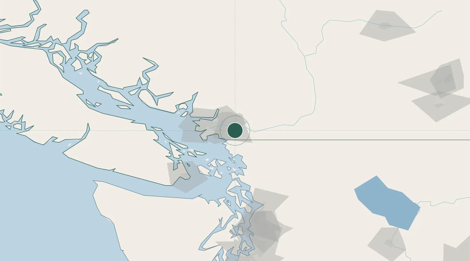
Place type
Populated place
Region
British Columbia
Time zone
America/Vancouver
Elevation
15 m
Location
Nearby Logistics Neighbours
Cities
- 1Langley5 km
- 2Fort Langley5 km
- 3Cloverdale9 km
- 4Conquitlam18 km
- 5Surrey22 km
Ports
- 1Port Coquitlam16 km
- 2Blaine18 km
- 3Fraser Mills20 km
- 4New Westminster23 km
- 5Port Moody26 km
Airports
Trade Zones
- 1FTZ No. 128 Whatcom County36 km
- 2FTZ Vancouver Island38 km
- 3FTZ No. 129 Bellingham43 km
- 4FTZ No. 085 Everett129 km
- 5FTZ No. 005 Seattle169 km
DatabookThe Record of Consolidated Knowledge
Canada beyond logistics?