UN/LOCODE hub · United States
USZRM
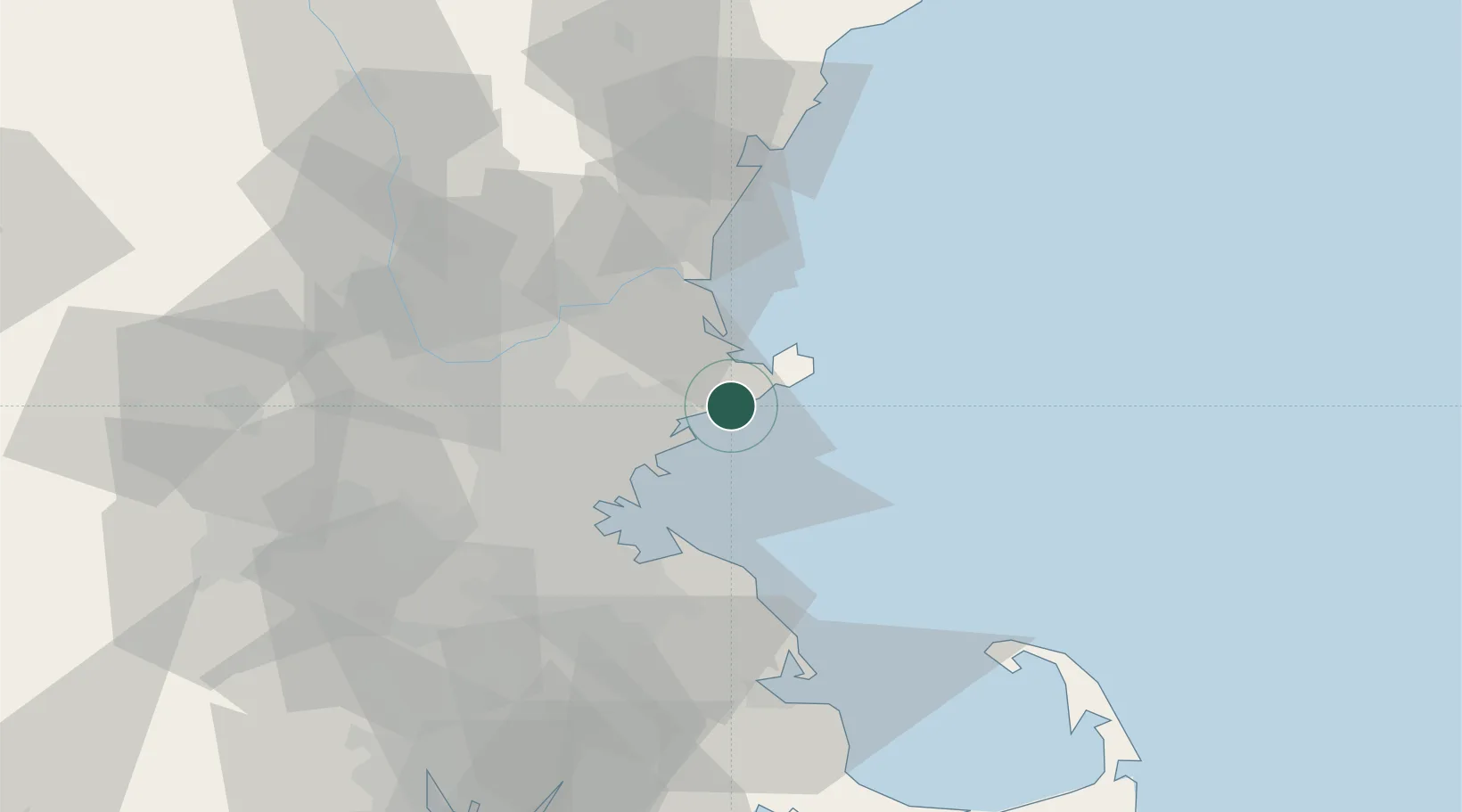
Manchester
42.5667°, -70.7667°
110,229
Population
3
Transport functions
Transport Functions
Rail
Road
Multimodal
Hub Profile
Place type
Populated place
Region
New Hampshire
Population
110,229
Time zone
America/New_York
Elevation
80 m
Location
Nearby Logistics Neighbours
Cities
- 1West Gloucester7 km
- 2Essex8 km
- 3South Hamilton9 km
- 4Marblehead10 km
- 5Gloucester11 km
Ports
- 1Marblehead10 km
- 2Beverly10 km
- 3Salem11 km
- 4Rockport17 km
- 5Lynn20 km
Airports
Trade Zones
- 1FTZ No. 027 Boston40 km
- 2FTZ No. 081 Portsmouth55 km
- 3FTZ No. 105 Providence and North Kingstown101 km
- 4FTZ No. 028 New Bedford102 km
- 5FTZ No. 268 Brattleboro153 km
DatabookThe Record of Consolidated Knowledge
United States beyond logistics?