UN/LOCODE hub · United States
USTF3
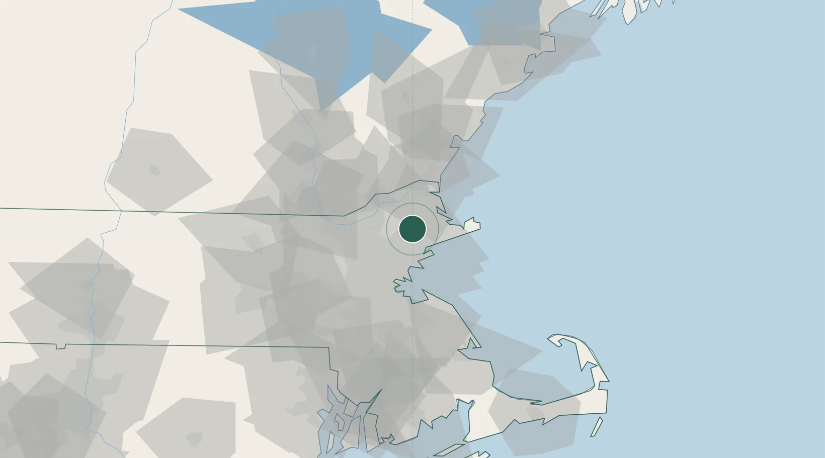
Topsfield
42.6333°, -70.9500°
2,717
Population
2
Transport functions
Transport Functions
Road
Multimodal
Hub Profile
Place type
Populated place
Region
Massachusetts
Population
2,717
Time zone
America/New_York
Elevation
18 m
Location
Nearby Logistics Neighbours
Cities
- 1South Hamilton8 km
- 2Rowley11 km
- 3Lynnfield13 km
- 4Essex14 km
- 5Manchester17 km
Ports
- 1Beverly12 km
- 2Salem14 km
- 3Marblehead17 km
- 4Lynn20 km
- 5Newburyport22 km
Airports
Trade Zones
- 1FTZ No. 027 Boston38 km
- 2FTZ No. 081 Portsmouth48 km
- 3FTZ No. 105 Providence and North Kingstown100 km
- 4FTZ No. 028 New Bedford108 km
- 5FTZ No. 268 Brattleboro137 km
DatabookThe Record of Consolidated Knowledge
United States beyond logistics?