UN/LOCODE hub · United States
USMH2
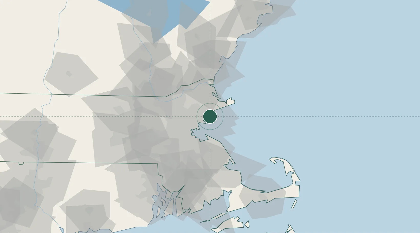
Marblehead
42.5000°, -70.8500°
19,808
Population
2
Transport functions
Transport Functions
Port
Road
Hub Profile
Place type
Populated place
Region
Massachusetts
Population
19,808
Time zone
America/New_York
Elevation
18 m
Location
Nearby Logistics Neighbours
Cities
- 1Manchester10 km
- 2South Hamilton11 km
- 3Lynnfield16 km
- 4Essex16 km
- 5Topsfield17 km
Airports
Trade Zones
DatabookThe Record of Consolidated Knowledge
United States beyond logistics?