UN/LOCODE hub · United States
US7YT
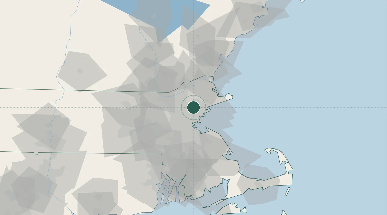
Lynnfield
42.5333°, -71.0333°
11,596
Population
2
Transport functions
Transport Functions
Port
Road
Hub Profile
Place type
Populated place
Region
Massachusetts
Population
11,596
Time zone
America/New_York
Elevation
27 m
Location
Nearby Logistics Neighbours
Cities
- 1Winchester12 km
- 2Topsfield13 km
- 3Medford14 km
- 4Marblehead16 km
- 5South Hamilton16 km
Ports
- 1Lynn12 km
- 2Beverly12 km
- 3Salem12 km
- 4Marblehead16 km
- 5Boston20 km
Airports
Trade Zones
DatabookThe Record of Consolidated Knowledge
United States beyond logistics?