Small airport · United States
Akiachak AirportZ13
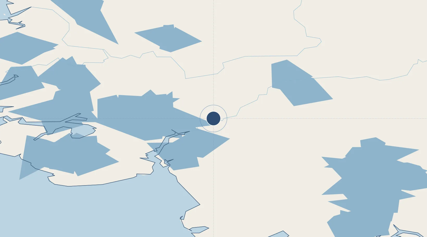
60.9138°, -161.4933°
1,649 ft
Longest runway
1
Runways
23 ft
Elevation
Runway & Layout

Runways · 1
| Runway | Dimensions | Surface | True heading | Lit |
|---|---|---|---|---|
| 11/29 | 1,649 × 40ft | GRVL-F | 117° | — |
Airport Specifications
IATA code
KKI
ICAO code
PFZK
Airport class
Small airport
Scheduled service
Yes
Runway surface
GRVL-F
Served city
Akiachak
Location
Nearby Logistics Neighbours
Airports
- 1Kwethluk Airport14 km
- 2Akiak Airport14 km
- 3Bethel Airport24 km
- 4Napaskiak Airport28 km
- 5Napakiak Airport36 km
Cities
- 1Sledge Island464 km
- 2Jakolof Bay575 km
- 3Afognak589 km
- 4Susitna592 km
- 5Port MacKenzie623 km
Ports
- 1Bethel16 km
- 2Platinum212 km
- 3Kotlik259 km
- 4Dillingham268 km
- 5Clarks Point282 km
Trade Zones
- 1FTZ No. 232 Kodiak587 km
- 2FTZ No. 160 Anchorage624 km
- 3FTZ No. 108 Valdez814 km
- 4FTZ No. 195 Fairbanks821 km
- 5PrInce George Logistics Park2406 km
DatabookThe Record of Consolidated Knowledge
United States beyond logistics?