Small airport · United States
Kwethluk AirportPFKW
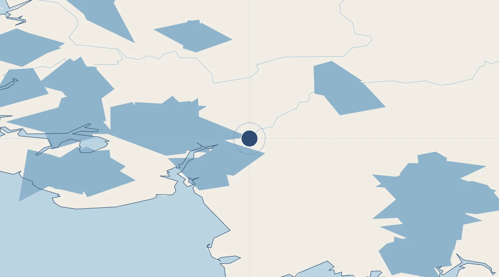
60.7903°, -161.4440°
3,199 ft
Longest runway
1
Runways
25 ft
Elevation
Runway & Layout

Runways · 1
| Runway | Dimensions | Surface | True heading | Lit |
|---|---|---|---|---|
| 18/36 | 3,199 × 75ft | GRVL-G | — | — |
Airport Specifications
IATA code
KWT
ICAO code
PFKW
Airport class
Small airport
Scheduled service
Yes
Runway surface
GRVL-G
Served city
Kwethluk
Location
Nearby Logistics Neighbours
Airports
- 1Akiachak Airport14 km
- 2Akiak Airport17 km
- 3Napaskiak Airport21 km
- 4Bethel Airport21 km
- 5Napakiak Airport31 km
Cities
- 1Sledge Island477 km
- 2Jakolof Bay569 km
- 3Afognak580 km
- 4Susitna592 km
- 5Kaguyak620 km
Ports
- 1Bethel15 km
- 2Platinum198 km
- 3Dillingham256 km
- 4Clarks Point270 km
- 5Ekuk272 km
Trade Zones
- 1FTZ No. 232 Kodiak576 km
- 2FTZ No. 160 Anchorage624 km
- 3FTZ No. 108 Valdez813 km
- 4FTZ No. 195 Fairbanks828 km
- 5PrInce George Logistics Park2403 km
DatabookThe Record of Consolidated Knowledge
United States beyond logistics?