Transport Functions
Road
Multimodal
Hub Profile
Place type
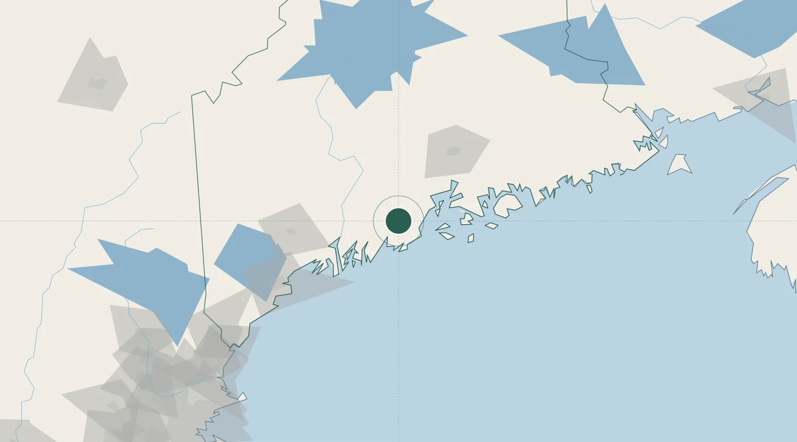
Populated place
Region
Maine
Population
2,297
Time zone
America/New_York
Elevation
28 m
Location
Nearby Logistics Neighbours
Cities
- 1Rockport15 km
- 2Camden17 km
- 3Saint George21 km
- 4Friendship25 km
- 5Spruce Head25 km
Ports
- 1Camden16 km
- 2Rockport16 km
- 3Thomaston16 km
- 4Rockland17 km
- 5Friendship27 km
Airports
- 1Knox County Regional Airport21 km
- 2Islesboro Airport31 km
- 3Witherspoons Airport32 km
- 4Vinalhaven Airport38 km
- 5Augusta State Airport44 km
Trade Zones
- 1FTZ No. 186 Waterville51 km
- 2FTZ No. 263 Auburn76 km
- 3FTZ No. 058 Bangor77 km
- 4FTZ No. 081 Portsmouth180 km
- 5FTZ No. 027 Boston257 km
DatabookThe Record of Consolidated Knowledge
United States beyond logistics?