Foreign Trade Zone · United States

FTZ No. 193 Pinellas County Active
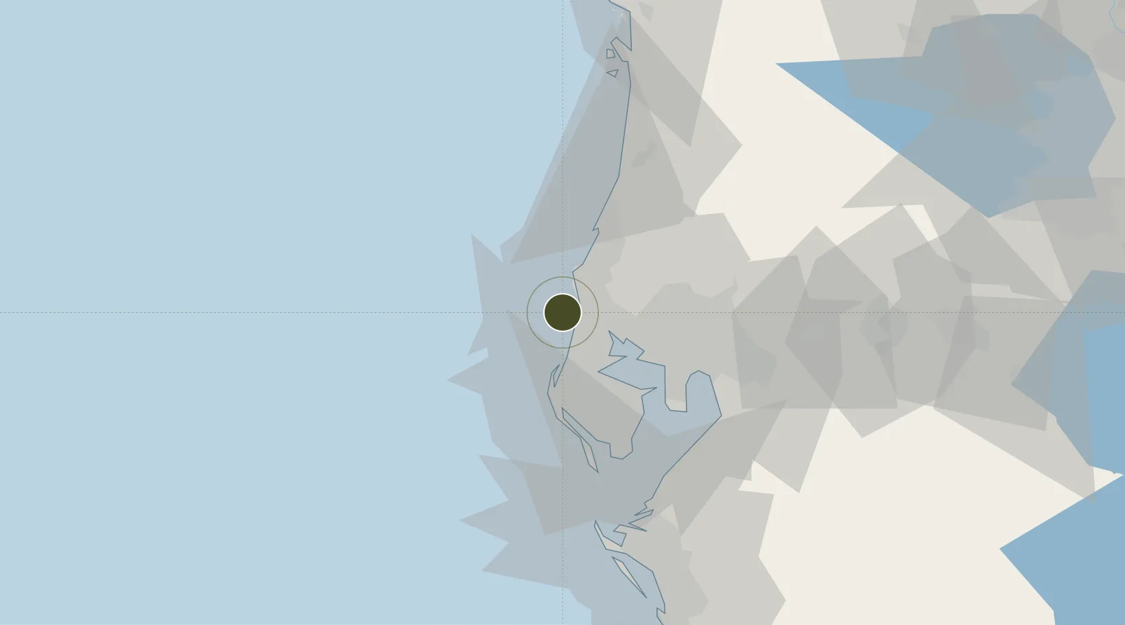
28.0859°, -82.8135°
517,997 ha
Zone area
8.5 km
Nearest port
23.1 km
Nearest airport

Gateway access

Nearest neighbours — logibook spatial index (haversine) over the source coordinates

Zone profile

Zone type
Foreign Trade Zone
Open Zone Map
Region
Florida
Open Zone Map
Status
Active
Open Zone Map
Management
Public
Open Zone Map
Operator
Pinellas County Economic Development
Open Zone Map
Legal framework
Foreign-Trade Zones Act
Open Zone Map

Location

Location of ozm-4733
Natural Earth 10m (public domain) · Florida · ozm-4733 · 28.09, -82.81GoogleOSMYandex

Nearby Logistics Neighbours

Ports
  1. 1Tarpon Springs9 km
  2. 2Tampa40 km
  3. 3Sankt-Peterburg40 km
  4. 4Port Manatee56 km
  5. 5Boca Grande161 km
Nearest neighbours — logibook spatial index (haversine) over the source coordinates
Airports
  1. 1St. Petersburg Clearwater International Airport23 km
  2. 2Tampa International Airport30 km
  3. 3MacDill Air Force Base39 km
  4. 4Lakeland Linder International Airport79 km
  5. 5Sarasota Bradenton International Airport81 km
Nearest neighbours — logibook spatial index (haversine) over the source coordinates
Cities
  1. 1Tarpon Spings8 km
  2. 2Seminole28 km
  3. 3Pinellas Park30 km
  4. 4Hudson31 km
  5. 5Madeira Beach34 km
Nearest neighbours — logibook spatial index (haversine) over the source coordinates
Trade Zones
  1. 1FTZ No. 079 Tampa39 km
  2. 2FTZ No. 169 Manatee County74 km
  3. 3FTZ No. 042 Orlando135 km
  4. 4FTZ No. 215 Sebring144 km
  5. 5FTZ No. 136 Brevard County156 km
Nearest neighbours — logibook spatial index (haversine) over the source coordinates
DatabookThe Record of Consolidated Knowledge
United States beyond logistics?
Browse databook

All Sources

Trade ZonesOpen Zone Map
CC BY
Portsthe NGA World Port Index
Public domain (US gov)
AirportsOurAirports
Public domain
LocationsUN/LOCODE
UN/LOCODE — free
← United States trade zones