Channel & Berth Profile
Pilotage, Tugs & Services
Pilotage compulsoryYES
Pilotage availableYES
Pilotage advisableYES
Local assistanceYES
Tug assistanceYES
Potable waterYES
MedicalYES
Garbage disposalYES
Facilities & Capabilities
Container—
Ro-RoYES
Liquid bulk—
Dry bulk—
Oil terminal—
Break bulk—
Dry dock—
Repairs—
Bunkering—
Rail link—
Dangerous cargo—
ISPS securityYES
Harbour Specifications
Harbour size
Very Small
Harbour type
Open Roadstead
Shelter
Fair
Water body
North Atlantic Ocean
Tidal range
1 m
Overhead limit
No
Pilotage
Yes
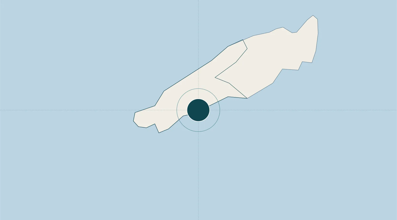
Location
Nearby Logistics Neighbours
Ports
- 1Port Of Spain104 km
- 2Anse Tembladora108 km
- 3Chaguaramas115 km
- 4Galeota Point Terminal120 km
- 5Point Lisas Port121 km
Cities
- 1Montrose9 km
- 2Canaan10 km
- 3Charlotteville25 km
- 4Arima86 km
- 5Trincity92 km
Airports
Trade Zones
DatabookThe Record of Consolidated Knowledge
Trinidad & Tobago beyond logistics?