Channel & Berth Profile
Pilotage, Tugs & Services
Pilotage compulsoryYES
Pilotage availableYES
Pilotage advisableYES
Tug assistanceNO
Salvage tugsNO
Shore powerYES
Potable waterYES
MedicalYES
Facilities & Capabilities
Container—
Ro-Ro—
Liquid bulkYES
Dry bulkYES
Oil terminal—
Break bulkYES
Dry dockNO
RepairsNO
BunkeringYES
Rail linkYES
Dangerous cargo—
ISPS securityYES
Harbour Specifications
Harbour size
Very Small
Harbour type
Coastal (Natural)
Shelter
Good
Water body
Caribbean Sea; North Atlantic Ocean
Tidal range
1 m
Overhead limit
No
Pilotage
Yes
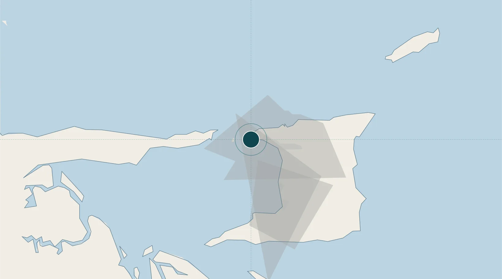
Location
Nearby Logistics Neighbours
Ports
- 1Anse Tembladora7 km
- 2Port Of Spain15 km
- 3Point Lisas Port36 km
- 4Pointe A Pierre45 km
- 5Brighton48 km
Cities
- 1Carenage6 km
- 2Diego Martin10 km
- 3Port-of-Spain15 km
- 4Laventille19 km
- 5Morvant/Port-of-Spain20 km
Airports
Trade Zones
- 1Diamond Vale Industrial Park10 km
- 2Abbatoir16 km
- 3Sea Lots Industrial Park16 km
- 4East Dry River Industrial Park17 km
- 5Beetham Industrial Park19 km
DatabookThe Record of Consolidated Knowledge
Trinidad & Tobago beyond logistics?