UN/LOCODE hub · Trinidad & Tobago
TTZAA
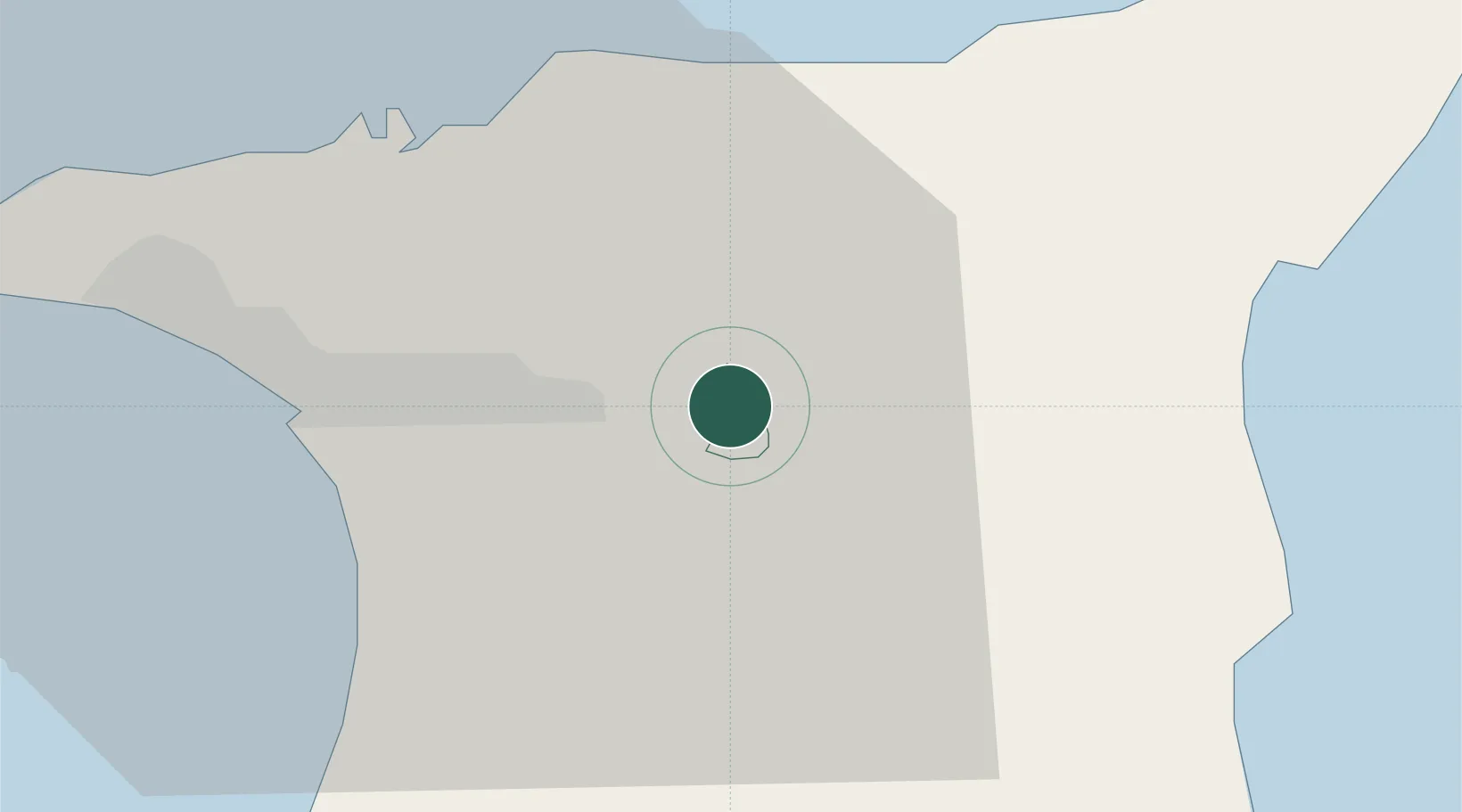
Arima
10.6333°, -61.2833°
35,000
Population
2
Transport functions
Transport Functions
Road
Multimodal
Hub Profile
Place type
Regional capital
Region
Borough of Arima
Population
35,000
Time zone
America/Port_of_Spain
Elevation
62 m
Location
Nearby Logistics Neighbours
Cities
- 1Trincity9 km
- 2Morvant/Port-of-Spain20 km
- 3Laventille22 km
- 4Freeport25 km
- 5Port-of-Spain26 km
Ports
- 1Port Of Spain26 km
- 2Anse Tembladora33 km
- 3Point Lisas Port35 km
- 4Chaguaramas41 km
- 5Pointe A Pierre41 km
Airports
Trade Zones
- 1OMeara Industrial Park2 km
- 2Tamana InTech Park8 km
- 3Piarco AeroPark8 km
- 4TrIncity Industrial Park11 km
- 5Macoya Industrial Park11 km
DatabookThe Record of Consolidated Knowledge
Trinidad & Tobago beyond logistics?