Seaport · Trinidad & Tobago
Port Of SpainTTPOS
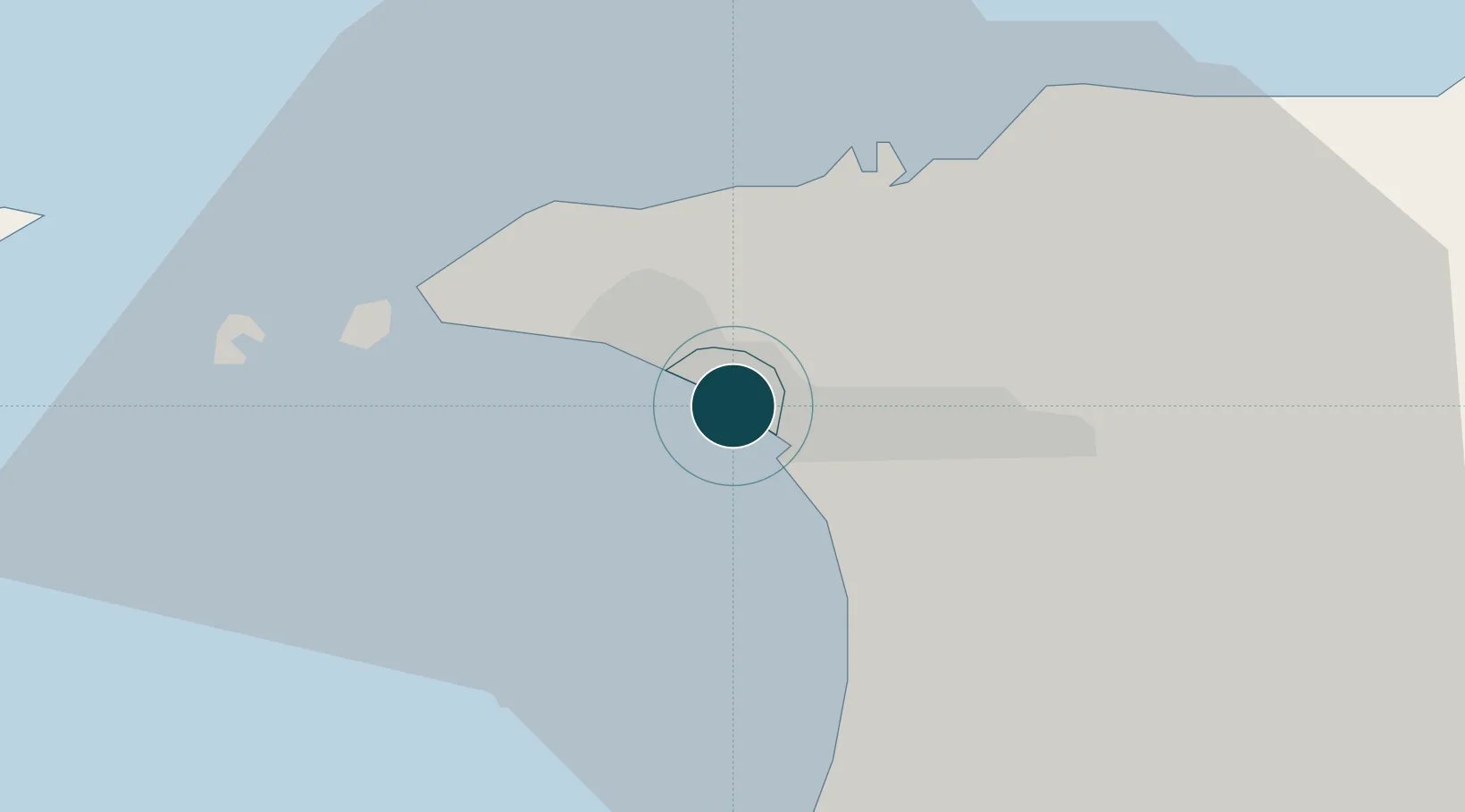
10.6500°, -61.5167°
11.0 m
Channel depth
1
Container terminals
97.9
Port liner connectivity
Channel & Berth Profile
Pilotage, Tugs & Services
Pilotage compulsoryYES
Pilotage availableYES
Tug assistanceYES
Potable waterYES
Diesel bunkersYES
MedicalYES
Garbage disposalYES
Facilities & Capabilities
ContainerYES
Ro-RoYES
Liquid bulkYES
Dry bulkYES
Oil terminal—
Break bulkYES
Dry dock—
RepairsNO
BunkeringYES
Rail link—
Dangerous cargo—
ISPS securityYES
Harbour Specifications
Harbour size
Medium
Harbour type
Coastal (Natural)
Shelter
Excellent
Water body
Caribbean Sea; North Atlantic Ocean
Tidal range
1 m
Overhead limit
No
Pilotage
Yes
Liner Connectivity
97.9
PLSCI
Port Liner Shipping Connectivity Index for Port Of Spain, as published by UNCTAD for the latest available quarter. Higher values indicate stronger scheduled liner-shipping integration.
Shown relative to the highest per-port PLSCI in the dataset (1,657.9).
Location
Container Terminals · 1
PORT OF PORT OF SPAIN
PPOS
Nearby Logistics Neighbours
Ports
- 1Anse Tembladora8 km
- 2Chaguaramas15 km
- 3Point Lisas Port28 km
- 4Pointe A Pierre38 km
- 5Brighton46 km
Cities
- 1Laventille4 km
- 2Morvant/Port-of-Spain6 km
- 3Diego Martin9 km
- 4Carenage10 km
- 5Trincity17 km
Airports
Trade Zones
DatabookThe Record of Consolidated Knowledge
Trinidad & Tobago beyond logistics?