Channel & Berth Profile
Pilotage, Tugs & Services
Pilotage compulsoryNO
Pilotage availableYES
Pilotage advisableYES
Local assistanceYES
Tug assistanceNO
Salvage tugsNO
Potable waterYES
MedicalNO
Facilities & Capabilities
Container—
Ro-Ro—
Liquid bulkYES
Dry bulk—
Oil terminalYES
Break bulkYES
Dry dock—
Repairs—
BunkeringYES
Rail link—
Dangerous cargo—
ISPS securityYES
Harbour Specifications
Harbour size
Small
Harbour type
Open Roadstead
Shelter
Fair
Water body
North Atlantic Ocean
Tidal range
1 m
Overhead limit
No
Pilotage
No
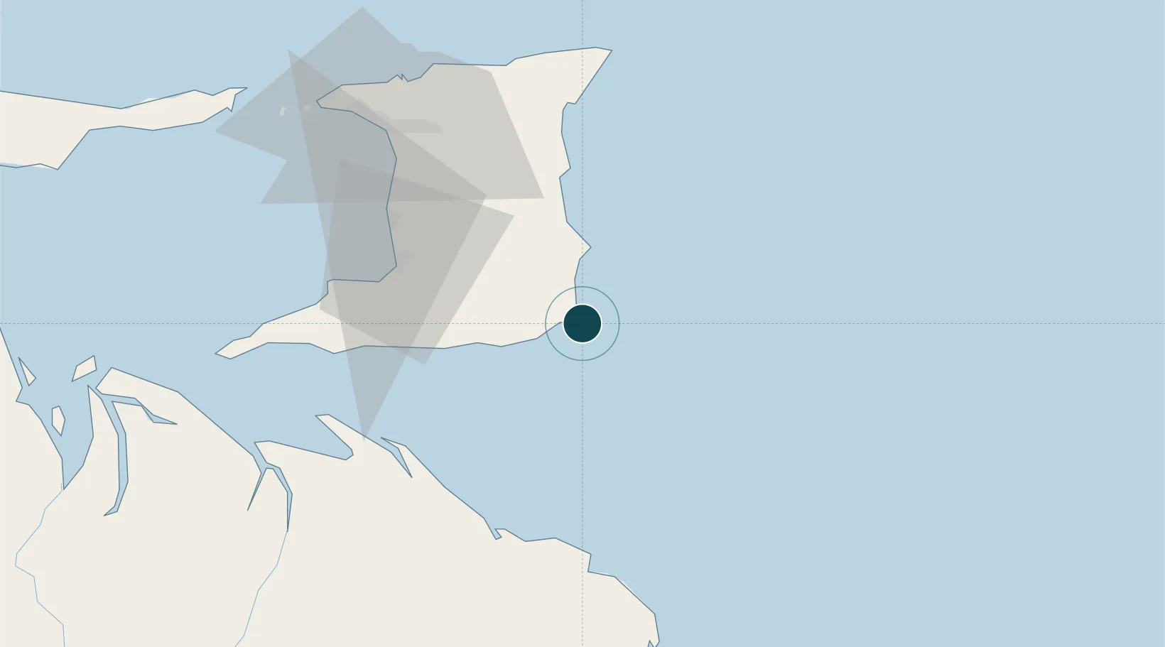
Location
Nearby Logistics Neighbours
Ports
- 1Pointe A Pierre57 km
- 2Point Lisas Port64 km
- 3Brighton72 km
- 4Point Fortin79 km
- 5Port Of Spain82 km
Cities
- 1Princes Town46 km
- 2Siparia57 km
- 3Claxton Bay58 km
- 4Freeport59 km
- 5Couva60 km
Airports
- 1Piarco International Airport65 km
- 2A.N.R. Robinson International Airport114 km
- 3Guiria Airport153 km
- 4Tucupita Airport168 km
- 5Maurice Bishop International Airport226 km
Trade Zones
DatabookThe Record of Consolidated Knowledge
Trinidad & Tobago beyond logistics?