Transport Functions
Port
Road
Hub Profile
Place type
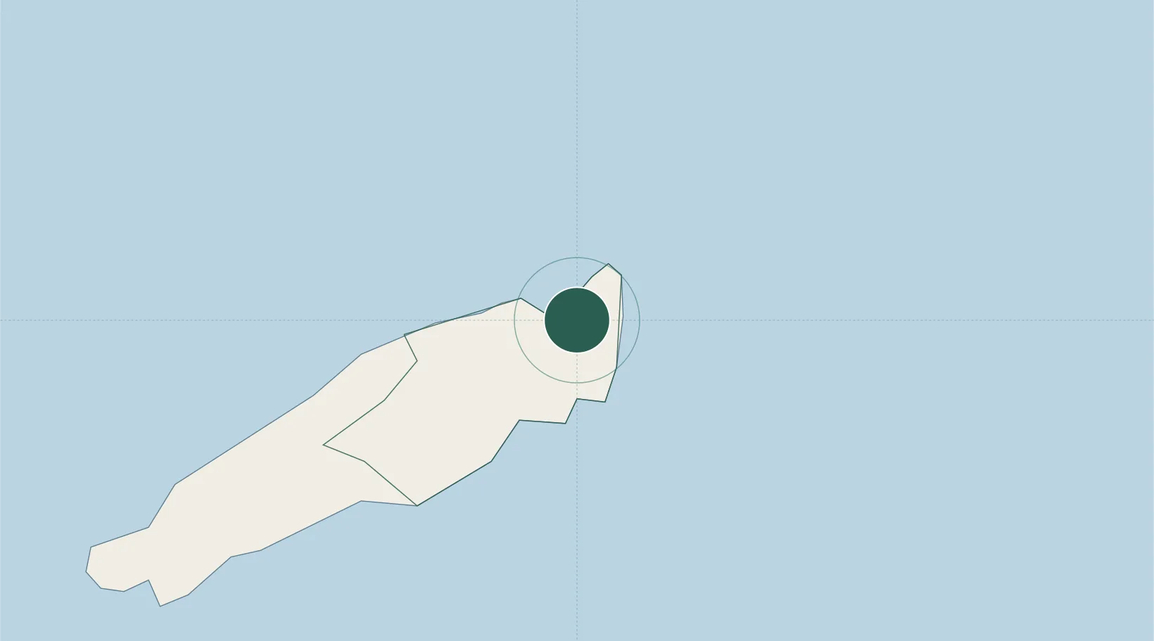
Populated place
Region
Tobago
Time zone
America/Port_of_Spain
Elevation
53 m
Location
Nearby Logistics Neighbours
Cities
- 1Montrose17 km
- 2Canaan35 km
- 3Arima110 km
- 4Trincity117 km
- 5Morvant/Port-of-Spain125 km
Ports
- 1Scarborough25 km
- 2Port Of Spain129 km
- 3Anse Tembladora133 km
- 4Chaguaramas139 km
- 5Galeota Point Terminal140 km
Airports
Trade Zones
- 1Sangsters Hill Mall25 km
- 2Cove Eco-Industrial and Business Park (CEIBP)34 km
- 3Tamana InTech Park103 km
- 4OMeara Industrial Park112 km
- 5Piarco AeroPark118 km
DatabookThe Record of Consolidated Knowledge
Trinidad & Tobago beyond logistics?