Transport Functions
Multimodal
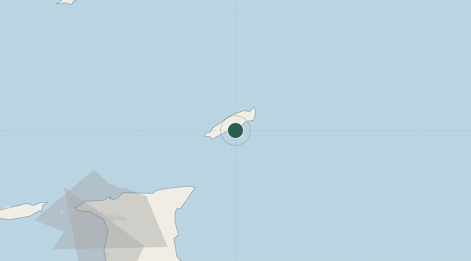
Hub Profile
Place type
Populated place
Region
Tobago
Time zone
America/Port_of_Spain
Elevation
179 m
Location
Nearby Logistics Neighbours
Cities
- 1Charlotteville17 km
- 2Canaan19 km
- 3Arima94 km
- 4Trincity101 km
- 5Morvant/Port-of-Spain108 km
Ports
- 1Scarborough9 km
- 2Port Of Spain113 km
- 3Anse Tembladora117 km
- 4Chaguaramas123 km
- 5Galeota Point Terminal124 km
Airports
Trade Zones
- 1Sangsters Hill Mall9 km
- 2Cove Eco-Industrial and Business Park (CEIBP)18 km
- 3Tamana InTech Park86 km
- 4OMeara Industrial Park95 km
- 5Piarco AeroPark101 km
DatabookThe Record of Consolidated Knowledge
Trinidad & Tobago beyond logistics?