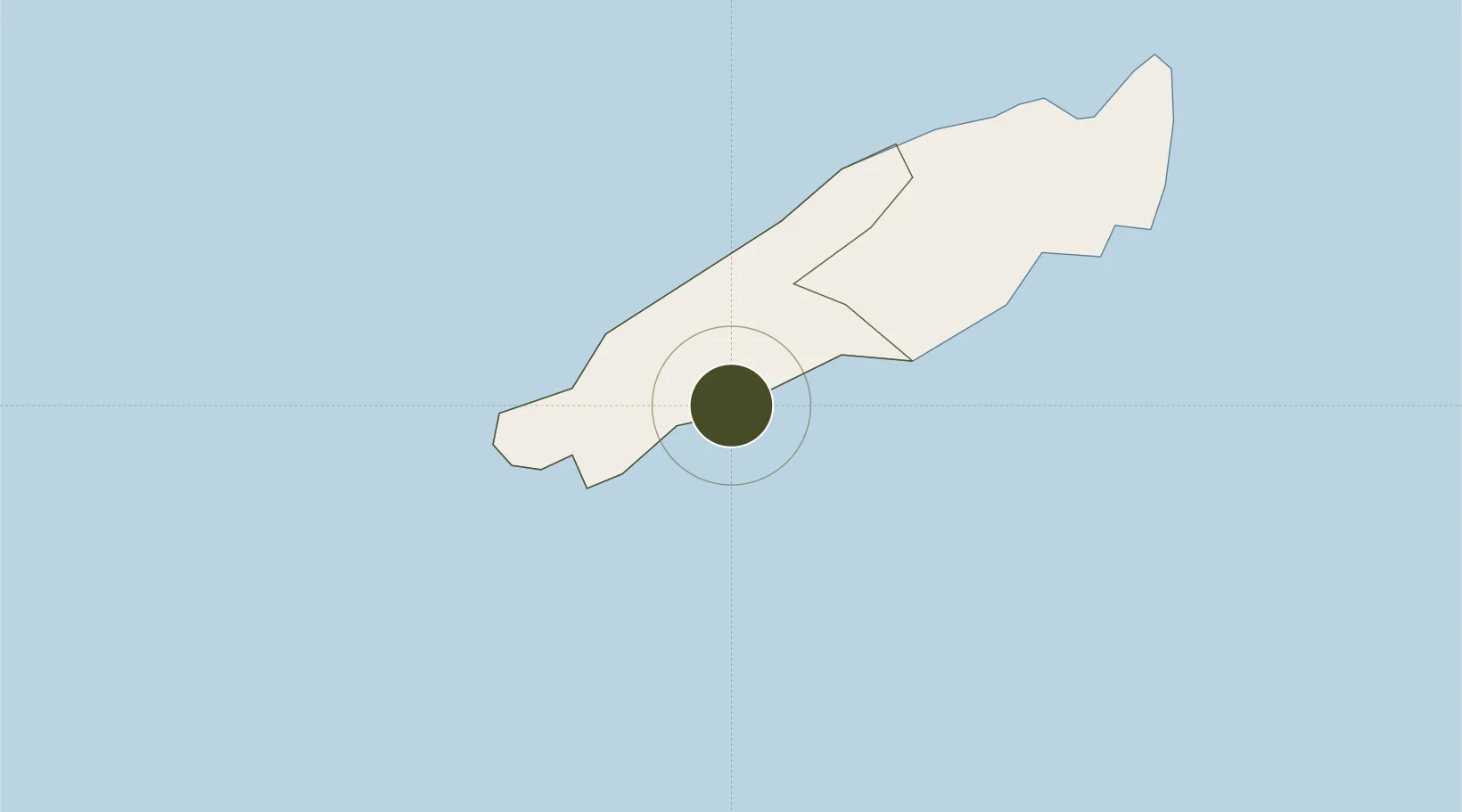
Free Trade Zone · Trinidad & Tobago

Sangsters Hill Mall Active

11.1827°, -60.7338°
0.1 km
Nearest port
11.3 km
Nearest airport

Gateway access

Nearest neighbours — logibook spatial index (haversine) over the source coordinates

Zone profile

Zone type
Free Trade Zone
Open Zone Map
Region
Western Tobago
Open Zone Map
Status
Active
Open Zone Map
Management
Public-Private Partnership
Open Zone Map
Operator
Evolving Tecknologies and Enterprise Development Company Limited (e TecK)
Open Zone Map
Legal framework
1988 Free Zone Act - Trinidad and Tobago Free Zones Act
Open Zone Map

Location

Location of ozm-4531
Natural Earth 10m (public domain) · Western Tobago · ozm-4531 · 11.18, -60.73GoogleOSMYandex

Nearby Logistics Neighbours

Ports
  1. 1Scarborough0 km
  2. 2Port Of Spain104 km
  3. 3Anse Tembladora108 km
  4. 4Chaguaramas114 km
  5. 5Galeota Point Terminal120 km
Nearest neighbours — logibook spatial index (haversine) over the source coordinates
Airports
  1. 1A.N.R. Robinson International Airport11 km
  2. 2Piarco International Airport93 km
  3. 3Maurice Bishop International Airport147 km
  4. 4Lauriston Airport165 km
  5. 5Union Island International Airport174 km
Nearest neighbours — logibook spatial index (haversine) over the source coordinates
Cities
  1. 1Montrose9 km
  2. 2Canaan10 km
  3. 3Charlotteville25 km
  4. 4Arima86 km
  5. 5Trincity92 km
Nearest neighbours — logibook spatial index (haversine) over the source coordinates
Trade Zones
  1. 1Cove Eco-Industrial and Business Park (CEIBP)9 km
  2. 2Tamana InTech Park78 km
  3. 3OMeara Industrial Park88 km
  4. 4Piarco AeroPark93 km
  5. 5TrIncity Industrial Park93 km
Nearest neighbours — logibook spatial index (haversine) over the source coordinates
DatabookThe Record of Consolidated Knowledge
Trinidad & Tobago beyond logistics?
Browse databook

All Sources

Trade ZonesOpen Zone Map
CC BY
Portsthe NGA World Port Index
Public domain (US gov)
AirportsOurAirports
Public domain
LocationsUN/LOCODE
UN/LOCODE — free
← Trinidad & Tobago trade zones