Diversified Zone · Trinidad & Tobago

Cove Eco-Industrial and Business Park (CEIBP) Active
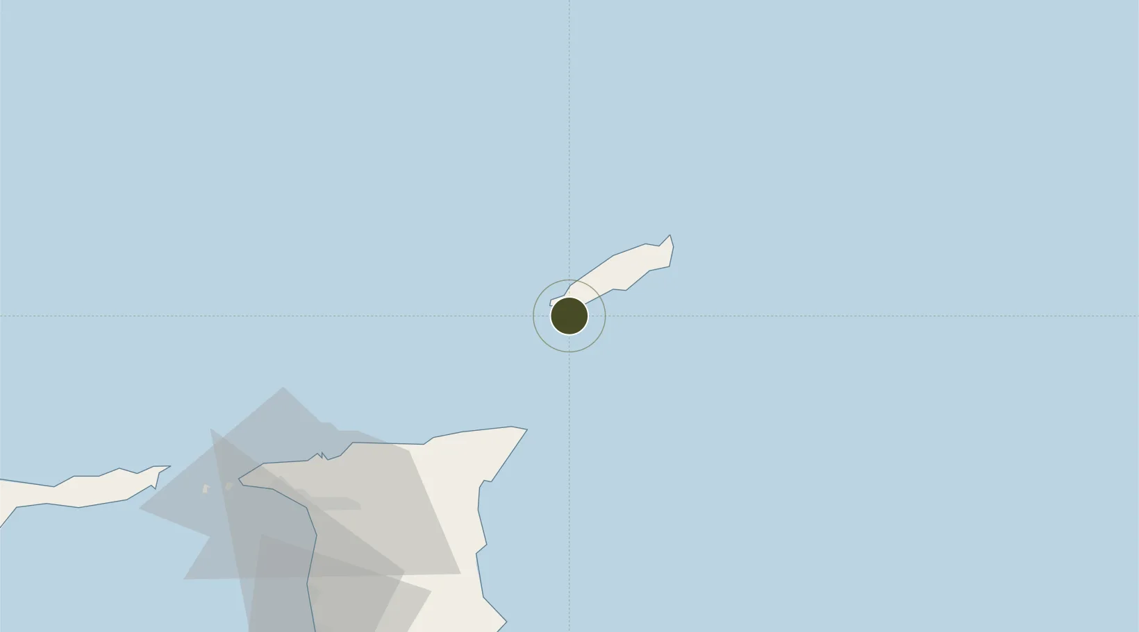
11.1367°, -60.7964°
57 ha
Zone area
8.6 km
Nearest port
4.1 km
Nearest airport

Gateway access

Nearest neighbours — logibook spatial index (haversine) over the source coordinates

Zone profile

Zone type
Diversified Zone
Open Zone Map
Status
Active
Open Zone Map
Management
Public-Private Partnership
Open Zone Map
Operator
Eco-Industrial Development Company of Tobago (E-IDCOT), LTD.
Open Zone Map
Legal framework
1988 Free Zone Act - Trinidad and Tobago Free Zones Act
Open Zone Map

Location

Location of ozm-4514
Natural Earth 10m (public domain) · ozm-4514 · 11.14, -60.80GoogleOSMYandex

Nearby Logistics Neighbours

Ports
  1. 1Scarborough9 km
  2. 2Port Of Spain96 km
  3. 3Anse Tembladora100 km
  4. 4Chaguaramas106 km
  5. 5Point Lisas Port112 km
Nearest neighbours — logibook spatial index (haversine) over the source coordinates
Airports
  1. 1A.N.R. Robinson International Airport4 km
  2. 2Piarco International Airport84 km
  3. 3Maurice Bishop International Airport145 km
  4. 4Lauriston Airport166 km
  5. 5Union Island International Airport176 km
Nearest neighbours — logibook spatial index (haversine) over the source coordinates
Cities
  1. 1Canaan3 km
  2. 2Montrose18 km
  3. 3Charlotteville34 km
  4. 4Arima77 km
  5. 5Trincity84 km
Nearest neighbours — logibook spatial index (haversine) over the source coordinates
Trade Zones
  1. 1Sangsters Hill Mall9 km
  2. 2Tamana InTech Park70 km
  3. 3OMeara Industrial Park79 km
  4. 4TrIncity Industrial Park85 km
  5. 5Macoya Industrial Park85 km
Nearest neighbours — logibook spatial index (haversine) over the source coordinates
DatabookThe Record of Consolidated Knowledge
Trinidad & Tobago beyond logistics?
Browse databook

All Sources

Trade ZonesOpen Zone Map
CC BY
Portsthe NGA World Port Index
Public domain (US gov)
AirportsOurAirports
Public domain
LocationsUN/LOCODE
UN/LOCODE — free
← Trinidad & Tobago trade zones