Large airport · Grenada

Maurice Bishop International AirportTGPY
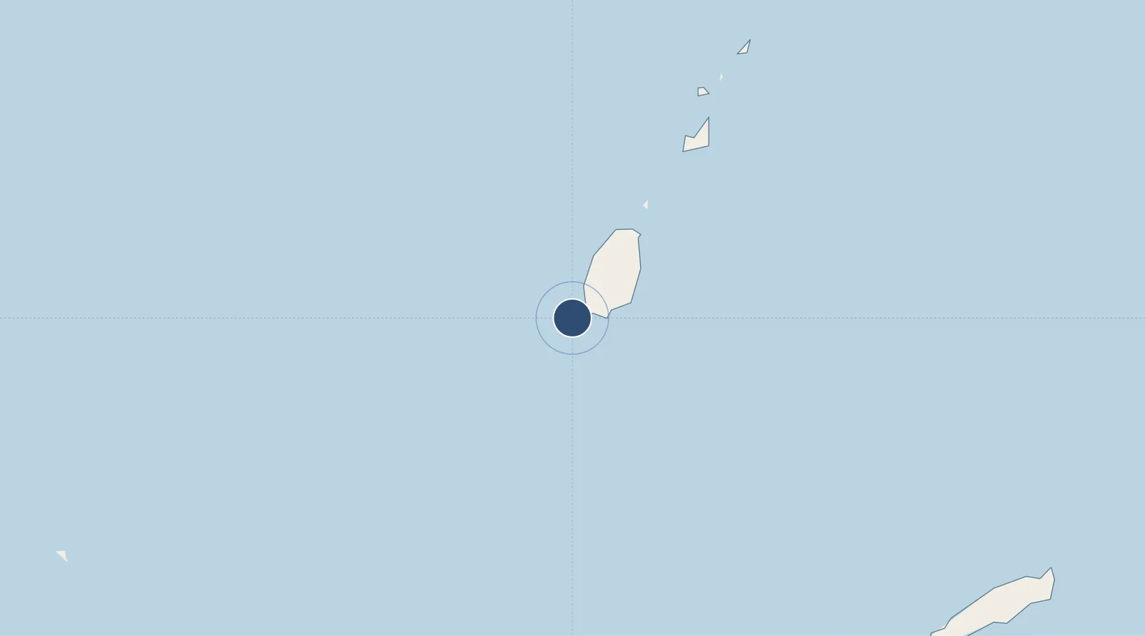
12.0040°, -61.7853°
9,003 ft
Longest runway
1
Runways
41 ft
Elevation

Runway & Layout

Maurice Bishop International Airport runway & taxiway layout
Runway & taxiway layout — OpenStreetMap (ODbL) / OurAirports

Radio Frequencies

TWR
118.9 MHz
GND
121.9 MHz
APP
119.4 MHz
OurAirports

Navaids

GND VOR-DME Point Salines 117.10 MHz
GND NDB Point Salines 362 kHz
OurAirports

Runways · 1

RunwayDimensions SurfaceTrue headingLit
10/28 9,003 × 148ft Asphalt 090°
OurAirports

Airport Specifications

IATA code
GND
OurAirports
ICAO code
TGPY
OurAirports
Airport class
Large airport
OurAirports
Scheduled service
Yes
OurAirports
Runway surface
Asphalt
OurAirports
Served city
Saint George's
OurAirports

Location

Location of TGPY
Natural Earth 10m (public domain) · Saint George · TGPY · 12.00, -61.79GoogleOSMYandex

Nearby Logistics Neighbours

Airports
  1. 1Lauriston Airport63 km
  2. 2Union Island International Airport78 km
  3. 3Canouan Airport91 km
  4. 4Mustique Airport118 km
  5. 5J F Mitchell Airport123 km
Nearest neighbours — logibook spatial index (haversine) over the source coordinates
Cities
  1. 1Canouan Island94 km
  2. 2Port Elizabeth, Bequia127 km
  3. 3Kingstown140 km
  4. 4Canaan142 km
  5. 5Campden Park143 km
Nearest neighbours — logibook spatial index (haversine) over the source coordinates
Ports
  1. 1St George's6 km
  2. 2Kingstown141 km
  3. 3Scarborough147 km
  4. 4Chaguaramas148 km
  5. 5Anse Tembladora149 km
Nearest neighbours — logibook spatial index (haversine) over the source coordinates
Trade Zones
  1. 1Cove Eco-Industrial and Business Park (CEIBP)145 km
  2. 2Diamond Vale Industrial Park145 km
  3. 3Sangsters Hill Mall147 km
  4. 4East Dry River Industrial Park153 km
  5. 5Morvant Industrial Park153 km
Nearest neighbours — logibook spatial index (haversine) over the source coordinates
DatabookThe Record of Consolidated Knowledge
Grenada beyond logistics?
Browse databook

All Sources

AirportsOurAirports
Public domain
Portsthe NGA World Port Index
Public domain (US gov)
LocationsUN/LOCODE
UN/LOCODE — free
Trade Zonesthe World Bank SEZ database
CC BY 4.0
Trade ZonesOpen Zone Map
CC BY
InfrastructureOpenStreetMap
ODbL 1.0
← Grenada airports