Transport Functions
Rail
Road
Hub Profile
Place type
Populated place
Region
Tunapuna/Piarco
Time zone
America/Port_of_Spain
Elevation
22 m
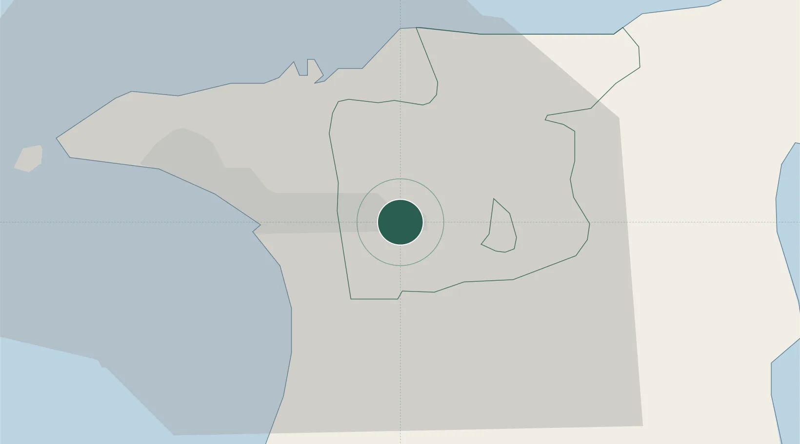
Location
Nearby Logistics Neighbours
Cities
- 1Arima9 km
- 2Morvant/Port-of-Spain11 km
- 3Laventille13 km
- 4Port-of-Spain17 km
- 5Freeport21 km
Ports
- 1Port Of Spain17 km
- 2Anse Tembladora24 km
- 3Point Lisas Port30 km
- 4Chaguaramas32 km
- 5Pointe A Pierre37 km
Airports
Trade Zones
DatabookThe Record of Consolidated Knowledge
Trinidad & Tobago beyond logistics?