Transport Functions
Multimodal
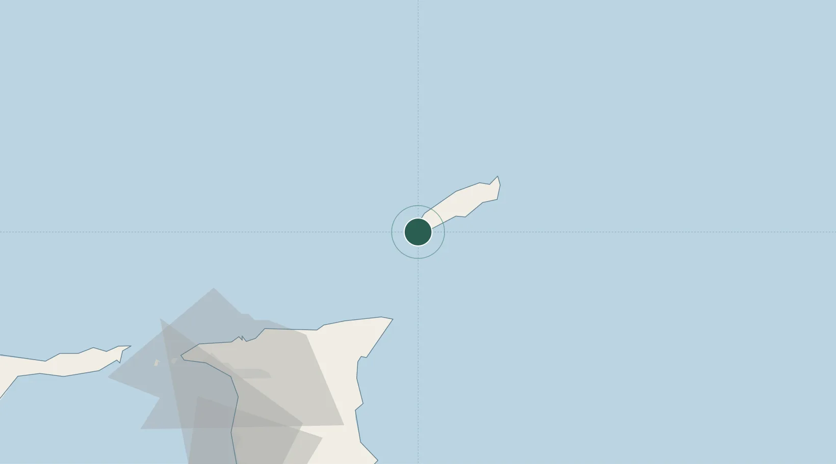
Hub Profile
Place type
Populated place
Region
Tobago
Time zone
America/Port_of_Spain
Elevation
12 m
Location
Nearby Logistics Neighbours
Cities
- 1Montrose19 km
- 2Charlotteville35 km
- 3Arima77 km
- 4Trincity83 km
- 5Morvant/Port-of-Spain90 km
Ports
- 1Scarborough10 km
- 2Port Of Spain95 km
- 3Anse Tembladora99 km
- 4Chaguaramas105 km
- 5Point Lisas Port112 km
Airports
Trade Zones
DatabookThe Record of Consolidated Knowledge
Trinidad & Tobago beyond logistics?