Small airport · Grenada

Lauriston AirportTGPZ
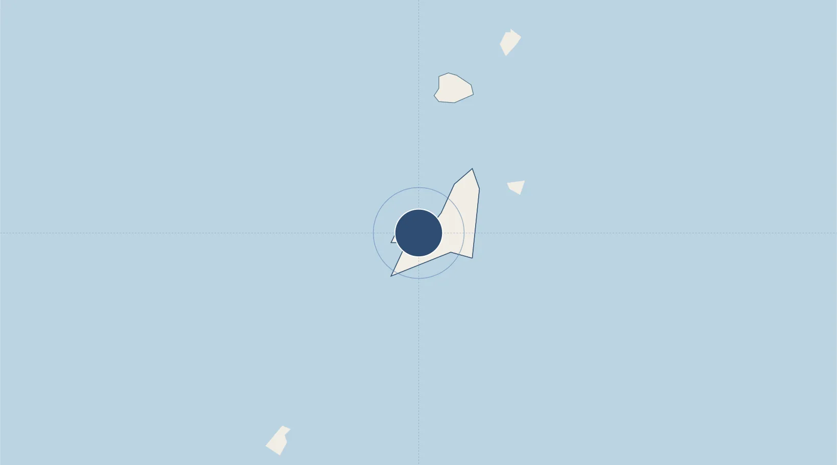
12.4761°, -61.4728°
2,625 ft
Longest runway
1
Runways
5 ft
Elevation

Runway & Layout

Lauriston Airport runway & taxiway layout
Runway & taxiway layout — OpenStreetMap (ODbL) / OurAirports

Radio Frequencies

TWR
118.6 MHz
APP ARGYLE TVSA
120.8 MHz
OurAirports

Runways · 1

RunwayDimensions SurfaceTrue headingLit
09/27 2,625 × —ft Concrete
OurAirports

Airport Specifications

IATA code
CRU
OurAirports
ICAO code
TGPZ
OurAirports
Airport class
Small airport
OurAirports
Scheduled service
Yes
OurAirports
Runway surface
Concrete
OurAirports
Served city
Carriacou Island
OurAirports

Location

Location of TGPZ
Natural Earth 10m (public domain) · Carriacou and Petite Martinique · TGPZ · 12.48, -61.47GoogleOSMYandex

Nearby Logistics Neighbours

Airports
  1. 1Union Island International Airport15 km
  2. 2Canouan Airport29 km
  3. 3Mustique Airport56 km
  4. 4J F Mitchell Airport61 km
  5. 5Maurice Bishop International Airport63 km
Nearest neighbours — logibook spatial index (haversine) over the source coordinates
Cities
  1. 1Canouan Island32 km
  2. 2Port Elizabeth, Bequia65 km
  3. 3Kingstown78 km
  4. 4Campden Park81 km
  5. 5Georgetown96 km
Nearest neighbours — logibook spatial index (haversine) over the source coordinates
Ports
  1. 1St George's56 km
  2. 2Kingstown79 km
  3. 3Vieux Fort148 km
  4. 4Scarborough165 km
  5. 5Grand Cul De Sac Bay175 km
Nearest neighbours — logibook spatial index (haversine) over the source coordinates
Trade Zones
  1. 1Saint Lucia Free Zone150 km
  2. 2Hewanorra Free Zone (Special Development Zone)152 km
  3. 3Soufriere Free Zone (Special Development Zone)160 km
  4. 4Canaries Free Zone (Special Development Zone)165 km
  5. 5Sangsters Hill Mall165 km
Nearest neighbours — logibook spatial index (haversine) over the source coordinates
DatabookThe Record of Consolidated Knowledge
Grenada beyond logistics?
Browse databook

All Sources

AirportsOurAirports
Public domain
Portsthe NGA World Port Index
Public domain (US gov)
LocationsUN/LOCODE
UN/LOCODE — free
Trade Zonesthe World Bank SEZ database
CC BY 4.0
Trade ZonesOpen Zone Map
CC BY
InfrastructureOpenStreetMap
ODbL 1.0
← Grenada airports