Free Trade Zone · Trinidad & Tobago

Piarco AeroPark Under Development
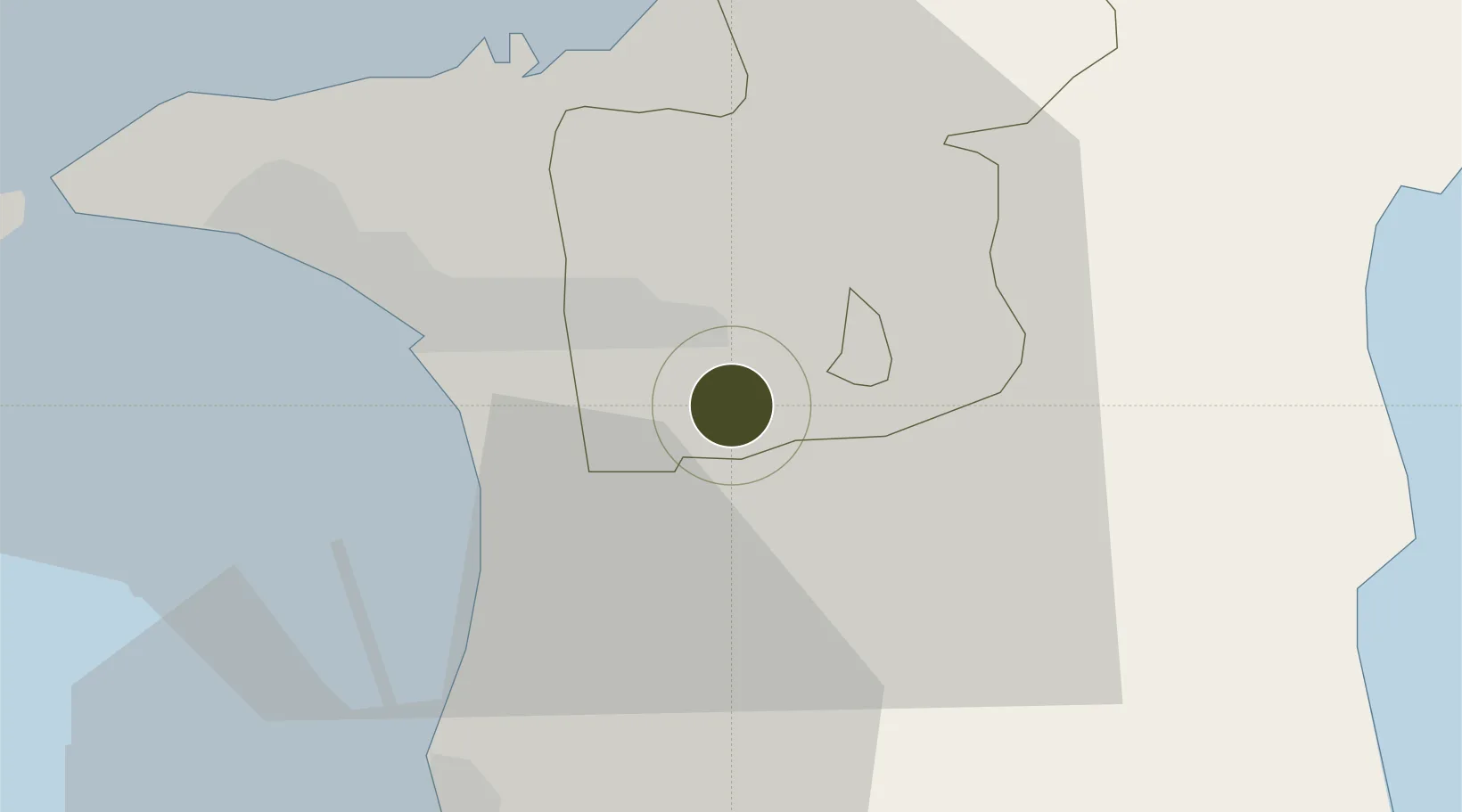
10.5977°, -61.3417°
68 ha
Zone area
20.0 km
Nearest port
0.5 km
Nearest airport

Gateway access

Nearest neighbours — logibook spatial index (haversine) over the source coordinates

Zone profile

Zone type
Free Trade Zone
Open Zone Map
Region
Tunapuna/Piarco
Open Zone Map
Status
Under Development
Open Zone Map
Management
Public
Open Zone Map
Operator
Airports Authority of Trinidad and Tobago
Open Zone Map
Legal framework
1988 Free Zone Act - Trinidad and Tobago Free Zones Act
Open Zone Map

Location

Location of ozm-4533
Natural Earth 10m (public domain) · Tunapuna/Piarco · ozm-4533 · 10.60, -61.34GoogleOSMYandex

Nearby Logistics Neighbours

Ports
  1. 1Port Of Spain20 km
  2. 2Point Lisas Port28 km
  3. 3Anse Tembladora28 km
  4. 4Pointe A Pierre34 km
  5. 5Chaguaramas35 km
Nearest neighbours — logibook spatial index (haversine) over the source coordinates
Airports
  1. 1Piarco International Airport1 km
  2. 2A.N.R. Robinson International Airport83 km
  3. 3Guiria Airport106 km
  4. 4Maurice Bishop International Airport164 km
  5. 5Tucupita Airport187 km
Nearest neighbours — logibook spatial index (haversine) over the source coordinates
Cities
  1. 1Trincity5 km
  2. 2Arima8 km
  3. 3Morvant/Port-of-Spain15 km
  4. 4Laventille17 km
  5. 5Freeport18 km
Nearest neighbours — logibook spatial index (haversine) over the source coordinates
Trade Zones
  1. 1OMeara Industrial Park6 km
  2. 2TrIncity Industrial Park6 km
  3. 3Frederick Settlement Business Park6 km
  4. 4Macoya Industrial Park7 km
  5. 5Nestlé Caribbean Inc. Free Zone10 km
Nearest neighbours — logibook spatial index (haversine) over the source coordinates
DatabookThe Record of Consolidated Knowledge
Trinidad & Tobago beyond logistics?
Browse databook

All Sources

Trade ZonesOpen Zone Map
CC BY
Portsthe NGA World Port Index
Public domain (US gov)
AirportsOurAirports
Public domain
LocationsUN/LOCODE
UN/LOCODE — free
← Trinidad & Tobago trade zones