Medium airport · St. Vincent & Grenadines
Union Island International AirportTVSU
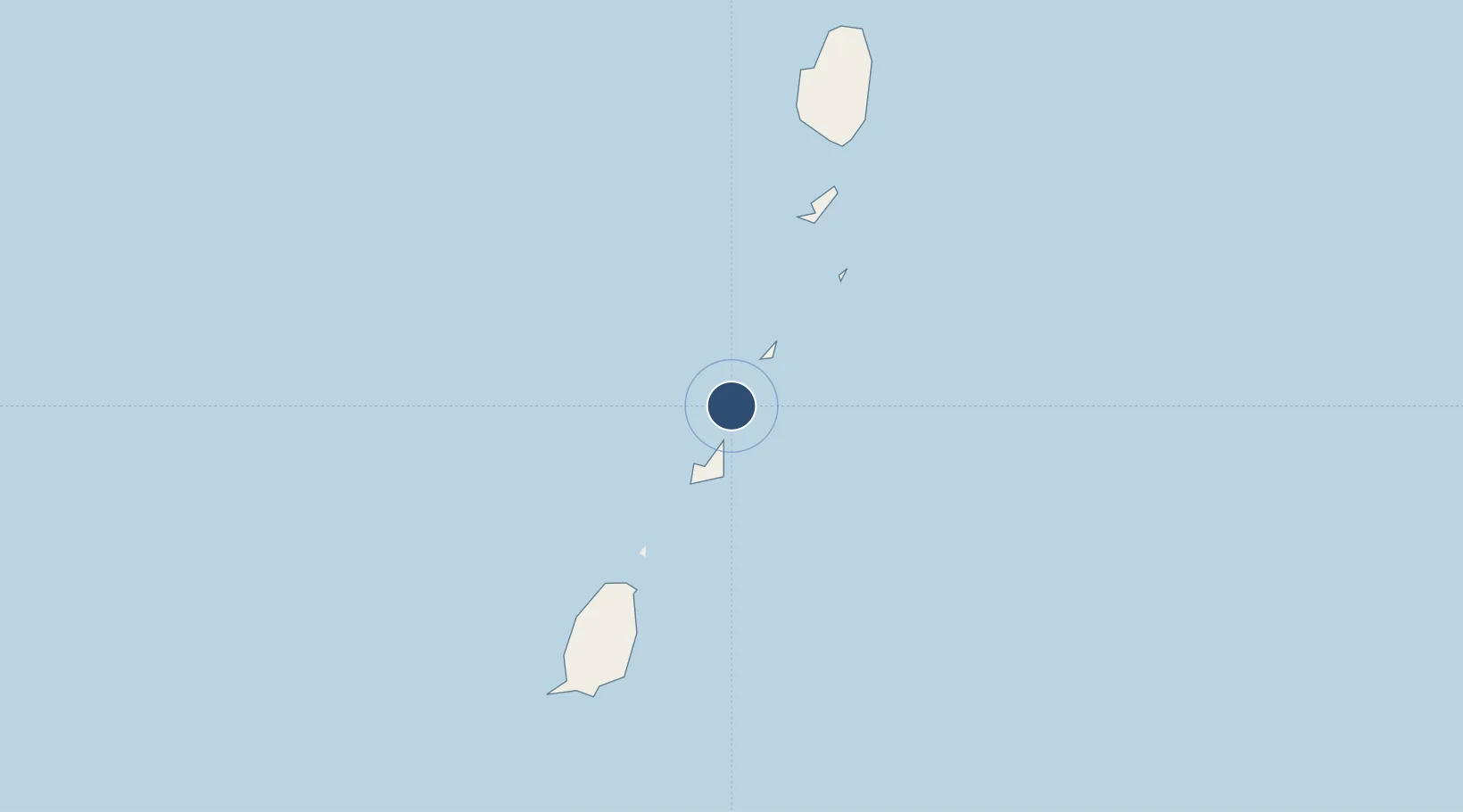
12.6001°, -61.4119°
2,467 ft
Longest runway
1
Runways
16 ft
Elevation
Runway & Layout

Runways · 1
| Runway | Dimensions | Surface | True heading | Lit |
|---|---|---|---|---|
| 08/26 | 2,467 × 98ft | Asphalt | — | — |
Airport Specifications
IATA code
UNI
ICAO code
TVSU
Airport class
Medium airport
Scheduled service
Yes
Runway surface
Asphalt
Served city
Union Island
Location
Nearby Logistics Neighbours
Airports
- 1Canouan Airport13 km
- 2Lauriston Airport15 km
- 3Mustique Airport41 km
- 4J F Mitchell Airport46 km
- 5Argyle International Airport68 km
Cities
- 1Canouan Island17 km
- 2Port Elizabeth, Bequia49 km
- 3Kingstown63 km
- 4Campden Park66 km
- 5Georgetown81 km
Ports
- 1Kingstown64 km
- 2St George's71 km
- 3Vieux Fort133 km
- 4Grand Cul De Sac Bay160 km
- 5Castries164 km
DatabookThe Record of Consolidated Knowledge
St. Vincent & Grenadines beyond logistics?