Seaport · Trinidad & Tobago
Point Lisas PortTTPTS
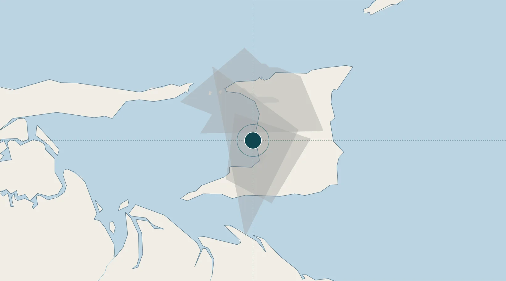
10.4000°, -61.5000°
12.5 m
Channel depth
1
Container terminals
77.0
Port liner connectivity
Channel & Berth Profile
Pilotage, Tugs & Services
Pilotage compulsoryYES
Pilotage availableYES
Tug assistanceYES
Potable waterYES
Diesel bunkersYES
MedicalYES
Garbage disposalYES
Facilities & Capabilities
ContainerYES
Ro-RoYES
Liquid bulkYES
Dry bulkYES
Oil terminalYES
Break bulkYES
Dry dockNO
RepairsNO
BunkeringYES
Rail linkYES
Dangerous cargo—
ISPS securityYES
Harbour Specifications
Harbour size
Small
Harbour type
River (Basins)
Shelter
Fair
Water body
Caribbean Sea; North Atlantic Ocean
Tidal range
1 m
Overhead limit
No
Pilotage
Yes
Liner Connectivity
77
PLSCI
Port Liner Shipping Connectivity Index for Point Lisas Port, as published by UNCTAD for the latest available quarter. Higher values indicate stronger scheduled liner-shipping integration.
Shown relative to the highest per-port PLSCI in the dataset (1,657.9).
Location
Container Terminals · 1
PORT OF POINT LISAS
TPTS
Nearby Logistics Neighbours
Ports
- 1Pointe A Pierre10 km
- 2Brighton22 km
- 3Port Of Spain28 km
- 4Point Fortin31 km
- 5Anse Tembladora33 km
Cities
- 1Couva6 km
- 2Claxton Bay7 km
- 3Freeport11 km
- 4Princes Town20 km
- 5Saint Mary's21 km
Airports
- 1Piarco International Airport28 km
- 2Guiria Airport91 km
- 3A.N.R. Robinson International Airport111 km
- 4Tucupita Airport160 km
- 5Maurice Bishop International Airport181 km
Trade Zones
DatabookThe Record of Consolidated Knowledge
Trinidad & Tobago beyond logistics?