Export Processing Zone · Trinidad & Tobago

OMeara Industrial Park Active
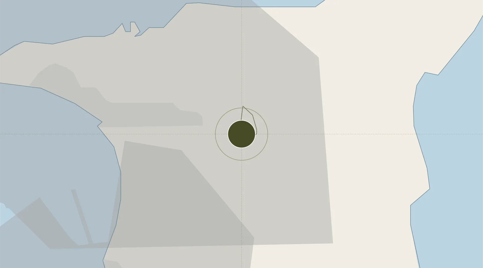
10.6133°, -61.2869°
94 ha
Zone area
25.4 km
Nearest port
5.8 km
Nearest airport

Gateway access

Nearest neighbours — logibook spatial index (haversine) over the source coordinates

Zone profile

Zone type
Export Processing Zone
Open Zone Map
Region
Arima
Open Zone Map
Status
Active
Open Zone Map
Management
Public-Private Partnership
Open Zone Map
Operator
Evolving Tecknologies and Enterprise Development Company Limited (e TecK)
Open Zone Map
Legal framework
1988 Free Zone Act - Trinidad and Tobago Free Zones Act
Open Zone Map

Location

Location of ozm-4530
Natural Earth 10m (public domain) · Arima · ozm-4530 · 10.61, -61.29GoogleOSMYandex

Nearby Logistics Neighbours

Ports
  1. 1Port Of Spain25 km
  2. 2Point Lisas Port33 km
  3. 3Anse Tembladora33 km
  4. 4Pointe A Pierre38 km
  5. 5Chaguaramas40 km
Nearest neighbours — logibook spatial index (haversine) over the source coordinates
Airports
  1. 1Piarco International Airport6 km
  2. 2A.N.R. Robinson International Airport78 km
  3. 3Guiria Airport112 km
  4. 4Maurice Bishop International Airport164 km
  5. 5Tucupita Airport191 km
Nearest neighbours — logibook spatial index (haversine) over the source coordinates
Cities
  1. 1Arima2 km
  2. 2Trincity9 km
  3. 3Morvant/Port-of-Spain20 km
  4. 4Laventille22 km
  5. 5Freeport23 km
Nearest neighbours — logibook spatial index (haversine) over the source coordinates
Trade Zones
  1. 1Piarco AeroPark6 km
  2. 2Tamana InTech Park9 km
  3. 3TrIncity Industrial Park11 km
  4. 4Macoya Industrial Park11 km
  5. 5Frederick Settlement Business Park12 km
Nearest neighbours — logibook spatial index (haversine) over the source coordinates
DatabookThe Record of Consolidated Knowledge
Trinidad & Tobago beyond logistics?
Browse databook

All Sources

Trade ZonesOpen Zone Map
CC BY
Portsthe NGA World Port Index
Public domain (US gov)
AirportsOurAirports
Public domain
LocationsUN/LOCODE
UN/LOCODE — free
← Trinidad & Tobago trade zones