Seaport · Türkiye

TekirdagTRTEK

40.9833°, 27.5167°
1
Container terminals
238.5
Port liner connectivity
Tekirdag is also a UN/LOCODE logistics hub →

Channel & Berth Profile

SEA LEVEL (CD)CHANNEL BEDOil terminal · 7.9 mCargo pier · 9.4 mAnchorage · 11.0 m
NGA World Port Index

Pilotage, Tugs & Services

Pilotage compulsoryYES
Pilotage availableYES
Pilotage advisableNO
Local assistanceNO
Tug assistanceYES
Potable waterYES
Diesel bunkersYES
MedicalYES
Garbage disposalNO
NGA World Port Index

Facilities & Capabilities

Container
Ro-Ro
Liquid bulk
Dry bulk
Oil terminal
Break bulk
Dry dock
Repairs
BunkeringYES
Rail link
Dangerous cargo
ISPS security
NGA World Port Index

Harbour Specifications

Harbour size
Very Small
NGA World Port Index
Harbour type
Canal or Lake
NGA World Port Index
Shelter
Fair
NGA World Port Index
Water body
Sea of Marmara; Mediterranean Sea; North Atlantic Ocean
NGA World Port Index
Pilotage
Yes
NGA World Port Index

Liner Connectivity

238.5
PLSCI

Port Liner Shipping Connectivity Index for Tekirdag, as published by UNCTAD for the latest available quarter. Higher values indicate stronger scheduled liner-shipping integration.

Shown relative to the highest per-port PLSCI in the dataset (1,657.9).
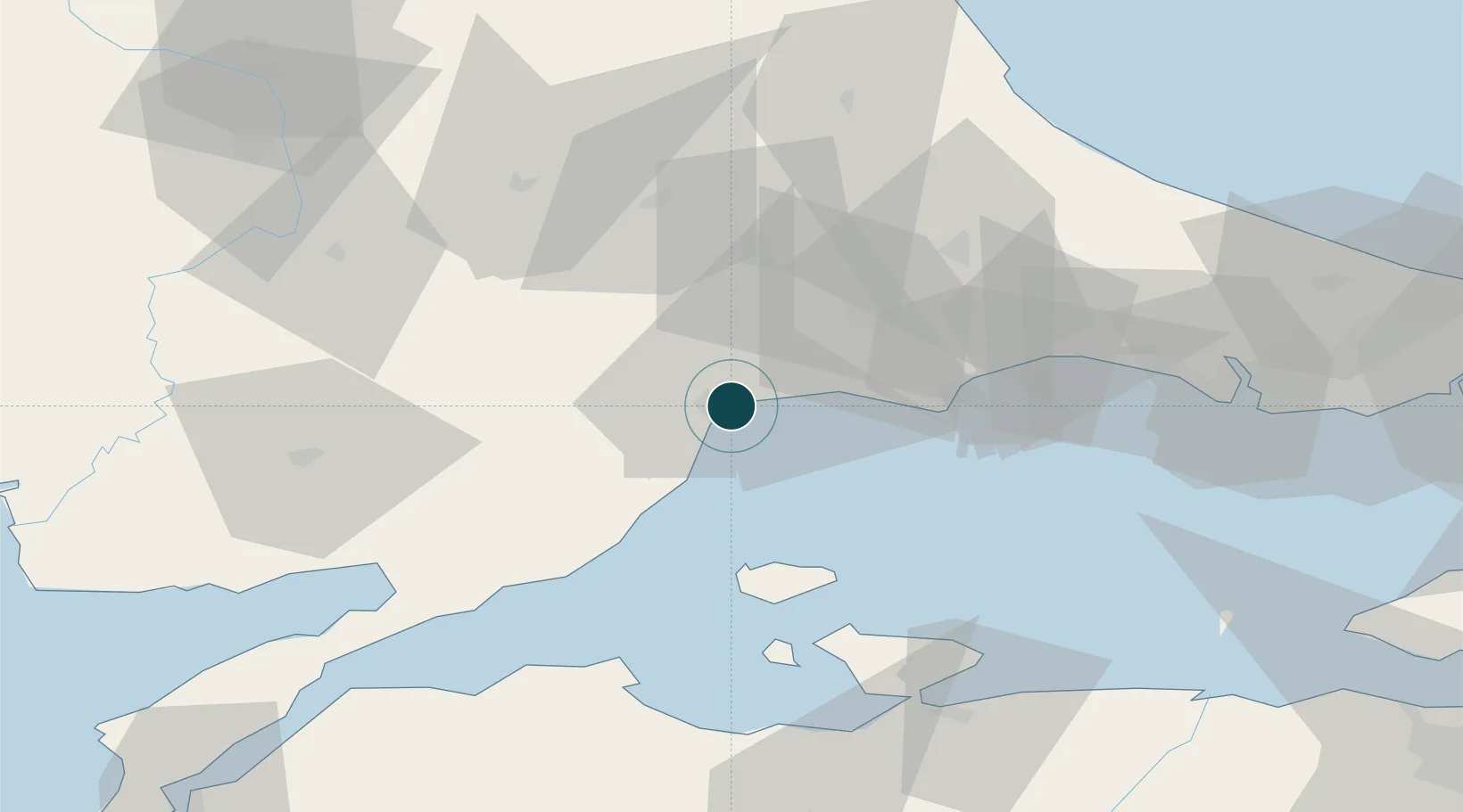
UNCTAD · Port Liner Shipping Connectivity Index

Location

Location of TRTEK
Natural Earth 10m (public domain) · Tekirdag · TRTEK · 40.98, 27.52GoogleOSMYandex

Container Terminals · 1

ASYAPORT TEKIRDAG
ASYA ASYAPORT LIMAN A.S.
SMDG Terminal Code List

Nearby Logistics Neighbours

Ports
  1. 1Karabiga67 km
  2. 2Erdek71 km
  3. 3Bandirma80 km
  4. 4Gelibolu97 km
  5. 5Ambarli99 km
Nearest neighbours — logibook spatial index (haversine) over the source coordinates
Cities
  1. 1Çorlu31 km
  2. 2Saraylar37 km
  3. 3Kapakli53 km
  4. 4Marmara Adasi53 km
  5. 5Icdas Jetty62 km
Nearest neighbours — logibook spatial index (haversine) over the source coordinates
Airports
  1. 1Tekirdağ Çorlu Airport38 km
  2. 2Keşan Air Base80 km
  3. 3Bandırma Airport84 km
  4. 4İstanbul Airport107 km
  5. 5İstanbul Atatürk Airport110 km
Nearest neighbours — logibook spatial index (haversine) over the source coordinates
Trade Zones
  1. 1European Free Zone41 km
  2. 2Cerkezkoy Organized Industrial Zone52 km
  3. 3Kirklareli Organized Industrial Zone80 km
  4. 4Istanbul Tracia Free Zone82 km
  5. 5Istanbul Atatürk Airport Free Zone109 km
Nearest neighbours — logibook spatial index (haversine) over the source coordinates
DatabookThe Record of Consolidated Knowledge
Türkiye beyond logistics?
Browse databook

All Sources

Portsthe NGA World Port Index
Public domain (US gov)
Logistics performanceUNCTAD
CC BY 3.0 IGO
Portsthe SMDG Terminal Code List
UN/LOCODE — free, attribution
AirportsOurAirports
Public domain
LocationsUN/LOCODE
UN/LOCODE — free
Trade Zonesthe World Bank SEZ database
CC BY 4.0
Trade ZonesOpen Zone Map
CC BY
← Türkiye ports