Seaport · Türkiye
BandirmaTRBDM
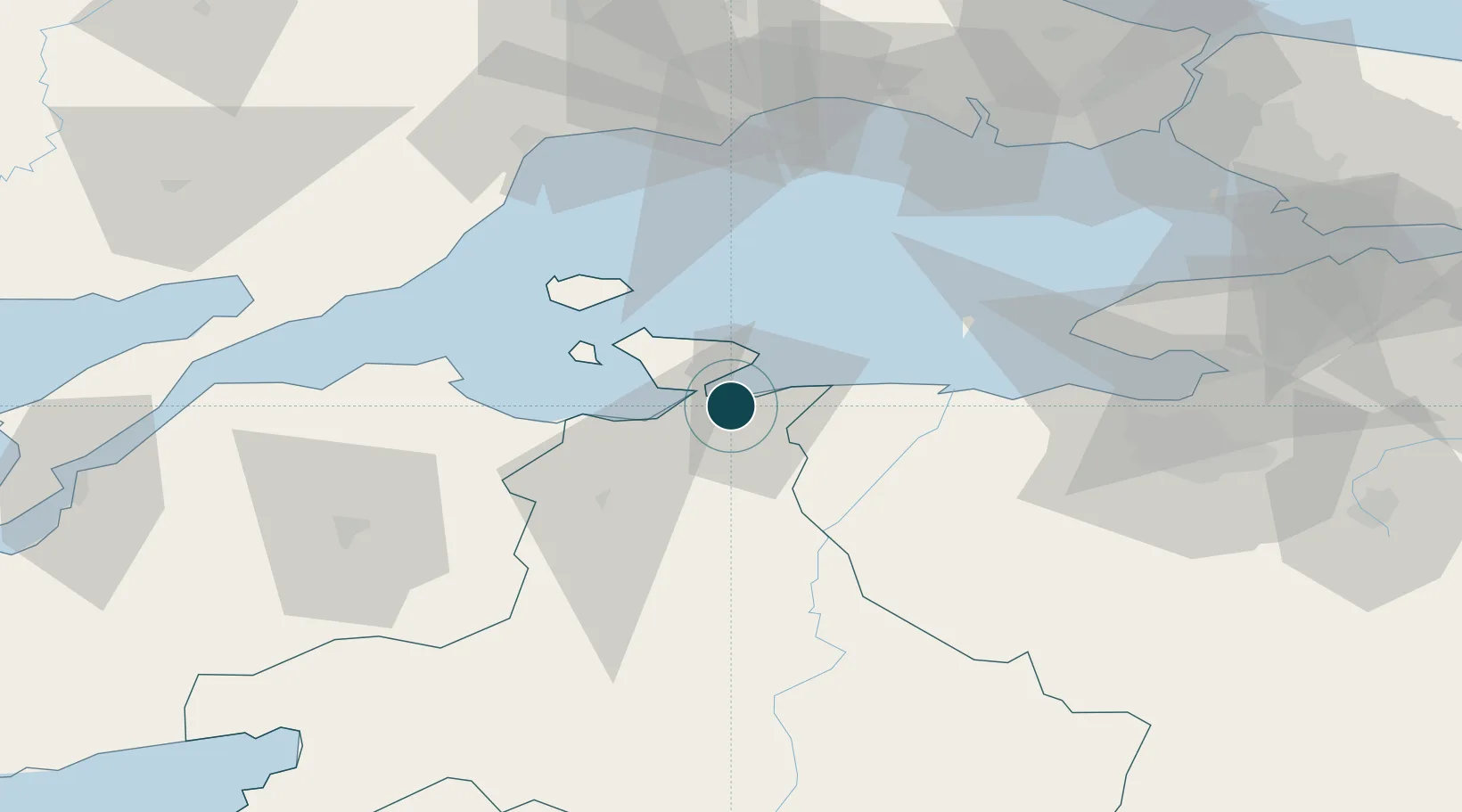
40.3500°, 27.9667°
23.2 m
Channel depth
1
Container terminals
9.9
Port liner connectivity
Channel & Berth Profile
Pilotage, Tugs & Services
Pilotage compulsoryYES
Pilotage availableYES
Tug assistanceYES
Salvage tugsNO
Potable waterYES
Diesel bunkersNO
MedicalYES
Garbage disposalYES
Facilities & Capabilities
Container—
Ro-Ro—
Liquid bulk—
Dry bulk—
Oil terminal—
Break bulk—
Dry dock—
RepairsNO
BunkeringYES
Rail linkYES
Dangerous cargo—
ISPS security—
Harbour Specifications
Harbour size
Very Small
Harbour type
Coastal (Breakwater)
Shelter
Fair
Water body
Sea of Marmara; Mediterranean Sea; North Atlantic Ocean
Pilotage
Yes
Liner Connectivity
9.9
PLSCI
Port Liner Shipping Connectivity Index for Bandirma, as published by UNCTAD for the latest available quarter. Higher values indicate stronger scheduled liner-shipping integration.
Shown relative to the highest per-port PLSCI in the dataset (1,657.9).
Location
Container Terminals · 1
CELEBI BANDIRMA PORT TERMINAL
CELE CELEBI HOLDING
Nearby Logistics Neighbours
Cities
- 1Erdek16 km
- 2Marmara Adasi43 km
- 3Saraylar43 km
- 4Karabiga57 km
- 5Icdas Jetty58 km
Airports
- 1Bandırma Airport4 km
- 2Balıkesir Airport81 km
- 3Tekirdağ Çorlu Airport88 km
- 4İstanbul Atatürk Airport100 km
- 5Balıkesir Koca Seyit Airport121 km
DatabookThe Record of Consolidated Knowledge
Türkiye beyond logistics?