Transport Functions
Rail
Road
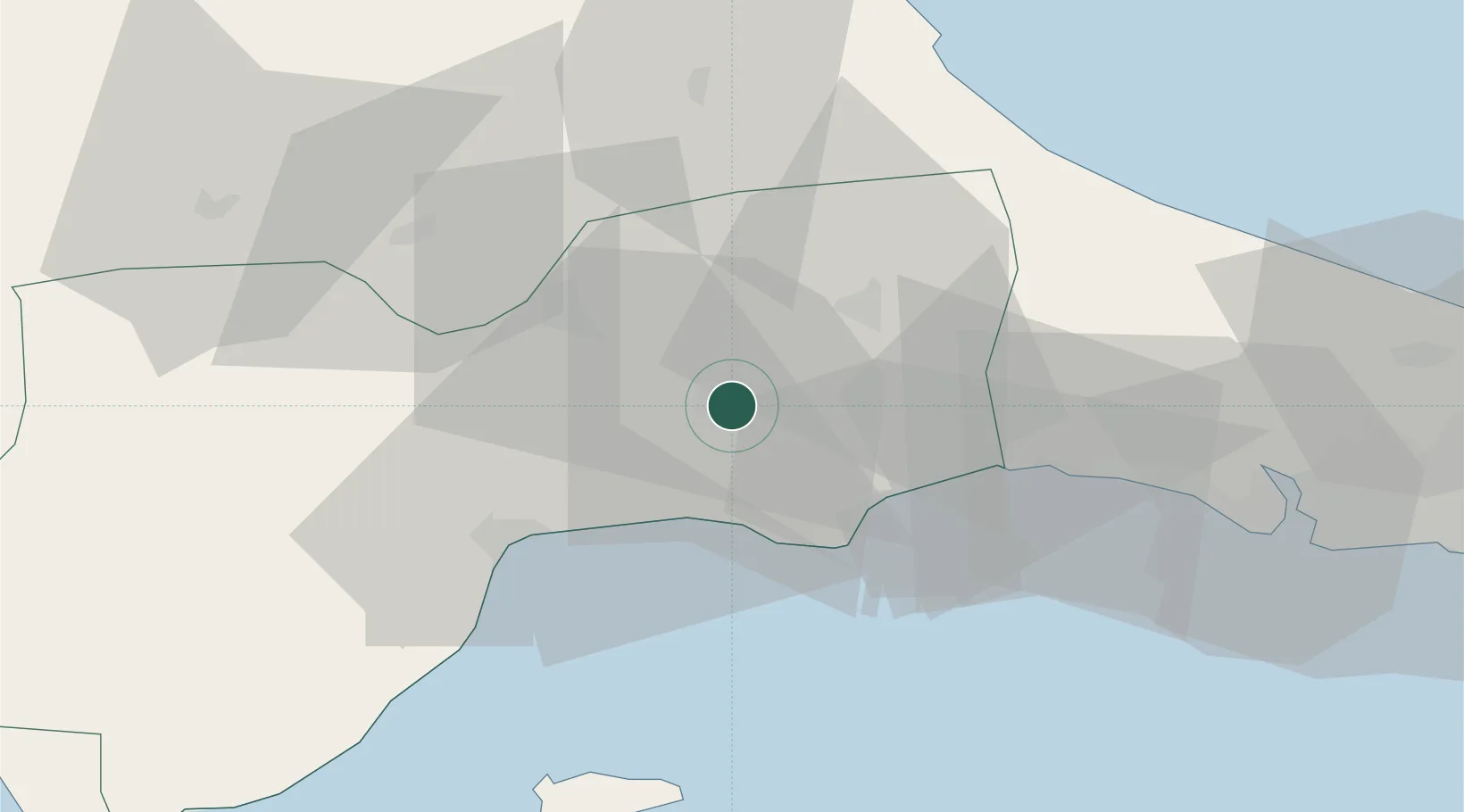
Hub Profile
Place type
Provincial seat
Region
Tekirdağ
Population
202,578
Time zone
Europe/Istanbul
Elevation
161 m
Location
Nearby Logistics Neighbours
Cities
- 1Kapakli22 km
- 2Silivri39 km
- 3Tekirdag41 km
- 4Saraylar57 km
- 5Mimarsinan65 km
Airports
- 1Tekirdağ Çorlu Airport11 km
- 2İstanbul Airport79 km
- 3İstanbul Atatürk Airport89 km
- 4Bandırma Airport96 km
- 5Keşan Air Base109 km
Trade Zones
DatabookThe Record of Consolidated Knowledge
Türkiye beyond logistics?