Transport Functions
Port
Hub Profile
Place type
Populated place
Region
Balıkesir
Time zone
Europe/Istanbul
Elevation
32 m
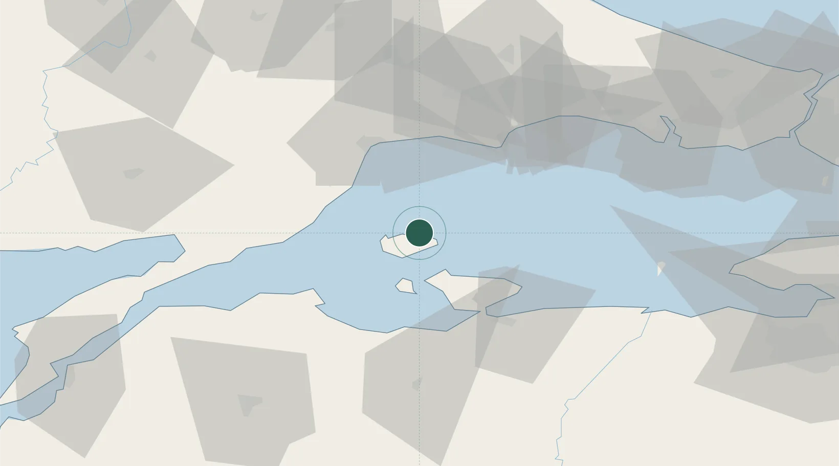
Location
Nearby Logistics Neighbours
Cities
- 1Marmara Adasi23 km
- 2Tekirdag32 km
- 3Erdek33 km
- 4Icdas Jetty39 km
- 5Karabiga43 km
Airports
- 1Bandırma Airport47 km
- 2Tekirdağ Çorlu Airport57 km
- 3Keşan Air Base90 km
- 4İstanbul Atatürk Airport103 km
- 5İstanbul Airport112 km
Trade Zones
DatabookThe Record of Consolidated Knowledge
Türkiye beyond logistics?