Free Trade Zone · Türkiye

Istanbul Tracia Free Zone Active
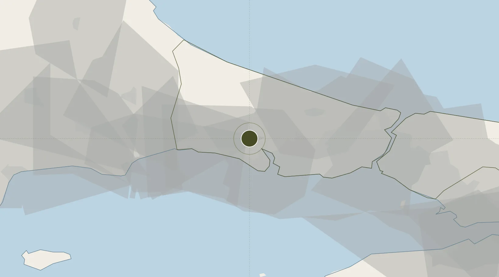
41.1272°, 28.4774°
45 ha
Zone area
25.8 km
Nearest port
26.9 km
Nearest airport

Gateway access

Nearest neighbours — logibook spatial index (haversine) over the source coordinates

Zone profile

Zone type
Free Trade Zone
Open Zone Map
Region
Istanbul
Open Zone Map
Status
Active
Open Zone Map
Management
Public-Private Partnership
Open Zone Map
Operator
ISBAŞ-Istanbul Trakya Free Zone Establishment and Operator Incorporated
Open Zone Map
Legal framework
Free Zones Law: Law Nr. 3218 Approved: June 6, 1985
Open Zone Map

Location

Location of ozm-4559
Natural Earth 10m (public domain) · Istanbul · ozm-4559 · 41.13, 28.48GoogleOSMYandex

Nearby Logistics Neighbours

Ports
  1. 1Ambarli26 km
  2. 2Istanbul43 km
  3. 3Haydarpasa47 km
  4. 4Istinye48 km
  5. 5Tekirdag82 km
Nearest neighbours — logibook spatial index (haversine) over the source coordinates
Airports
  1. 1İstanbul Airport27 km
  2. 2İstanbul Atatürk Airport34 km
  3. 3Tekirdağ Çorlu Airport47 km
  4. 4İstanbul Samandıra Army Air Base64 km
  5. 5Istanbul Sabiha Gökçen International Airport74 km
Nearest neighbours — logibook spatial index (haversine) over the source coordinates
Cities
  1. 1Boyalik13 km
  2. 2Mimarsinan14 km
  3. 3Silivri20 km
  4. 4Firuzköy23 km
  5. 5Istanbul24 km
Nearest neighbours — logibook spatial index (haversine) over the source coordinates
Trade Zones
  1. 1Istanbul Atatürk Airport Free Zone32 km
  2. 2Cerkezkoy Organized Industrial Zone47 km
  3. 3Istanbul Stock Exchange Free Zone47 km
  4. 4European Free Zone58 km
  5. 5Istanbul Leather Industry Free Zone81 km
Nearest neighbours — logibook spatial index (haversine) over the source coordinates
DatabookThe Record of Consolidated Knowledge
Türkiye beyond logistics?
Browse databook

All Sources

Trade ZonesOpen Zone Map
CC BY
Portsthe NGA World Port Index
Public domain (US gov)
AirportsOurAirports
Public domain
LocationsUN/LOCODE
UN/LOCODE — free
← Türkiye trade zones