Organized Industrial Zone · Türkiye
Cerkezkoy Organized Industrial Zone
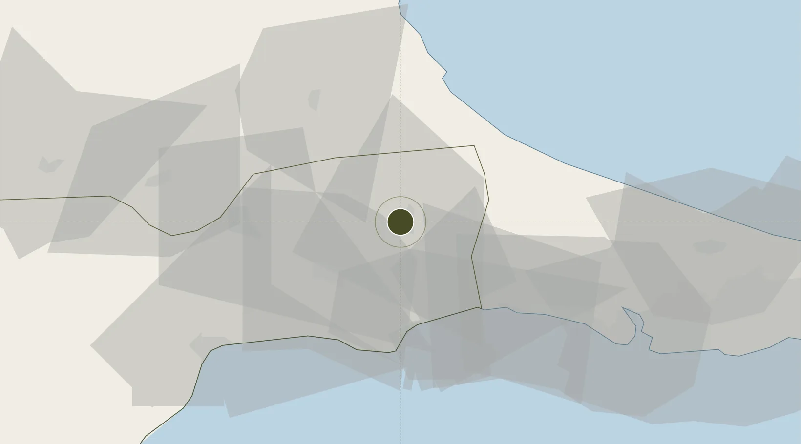
41.2996°, 27.9709°
627 ha
Zone area
51.8 km
Nearest port
18.5 km
Nearest airport
Gateway access
Zone profile
Zone type
Organized Industrial Zone
Region
Tekirdag
Established
2008
Management
PPP
Operator
Cerkezkoy Organized Industrial Zone Administration
Regulatory authority
Ministry of Industry and Trade
Legal framework
Organized Industrial Zones Law
Location
Fiscal & incentives
Corporate tax
20%
Tax relief
30% to 90%, depending on size, location, and sector of investment
Relief duration
Until amount of tax reduction equals 15% to 50% of investment, depending on size, location, and sector of investment
VAT
Excise tax support on goods used in production of electricty to the plants
Import duty (inputs)
0% exempt
Import duty (capex)
100% exempt
Profit repatriation
No exemption
Capital gains
No exemption
Withholding tax
100% exempt from income tax on newly recruited employees
Min. investment
$139K to $278K depending on location of investment
Min. export
0%
Employment incentive
Employer's contribution to insurance premiums are covered by Treasury
Developer incentive
Yes
Nearby Logistics Neighbours
Ports
- 1Tekirdag52 km
- 2Ambarli71 km
- 3Istanbul89 km
- 4Istinye93 km
- 5Haydarpasa94 km
Airports
- 1Tekirdağ Çorlu Airport19 km
- 2İstanbul Airport64 km
- 3İstanbul Atatürk Airport80 km
- 4Bandırma Airport109 km
- 5İstanbul Samandıra Army Air Base110 km
Cities
- 1Kapakli2 km
- 2Çorlu21 km
- 3Silivri35 km
- 4Boyalik56 km
- 5Mimarsinan58 km
Trade Zones
DatabookThe Record of Consolidated Knowledge
Türkiye beyond logistics?