Medium airport · Türkiye

Tekirdağ Çorlu AirportLTBU
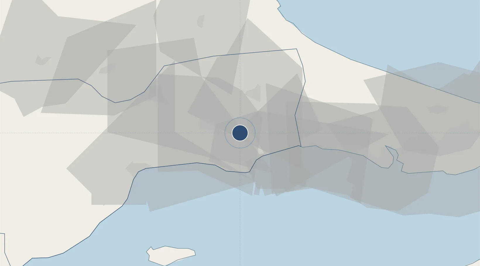
41.1382°, 27.9191°
9,844 ft
Longest runway
1
Runways
574 ft
Elevation

Runway & Layout

Tekirdağ Çorlu Airport runway & taxiway layout
Runway & taxiway layout — OpenStreetMap (ODbL) / OurAirports

Radio Frequencies

ATIS
119.925 MHz
TWR
120.375 MHz
GND
121.9 MHz
APP
120.5 MHz
YESILKOY APP
OurAirports

Navaids

CLU TACAN Corlu 115.90 MHz
CRL VOR-DME Corlu 114.80 MHz
CRL NDB Corlu 426 kHz
OurAirports

Runways · 1

RunwayDimensions SurfaceTrue headingLit
04/22 9,844 × 148ft Concrete 049°
OurAirports

Airport Specifications

IATA code
TEQ
OurAirports
ICAO code
LTBU
OurAirports
Airport class
Medium airport
OurAirports
Scheduled service
Yes
OurAirports
Runway surface
Concrete
OurAirports
Served city
Çorlu
OurAirports

Location

Location of LTBU
Natural Earth 10m (public domain) · Tekirdag · LTBU · 41.14, 27.92GoogleOSMYandex

Nearby Logistics Neighbours

Airports
  1. 1İstanbul Airport70 km
  2. 2İstanbul Atatürk Airport78 km
  3. 3Bandırma Airport91 km
  4. 4İstanbul Samandıra Army Air Base110 km
  5. 5Keşan Air Base117 km
Nearest neighbours — logibook spatial index (haversine) over the source coordinates
Cities
  1. 1Çorlu11 km
  2. 2Kapakli20 km
  3. 3Silivri29 km
  4. 4Tekirdag47 km
  5. 5Mimarsinan55 km
Nearest neighbours — logibook spatial index (haversine) over the source coordinates
Ports
  1. 1Tekirdag38 km
  2. 2Ambarli68 km
  3. 3Erdek85 km
  4. 4Bandirma88 km
  5. 5Istanbul89 km
Nearest neighbours — logibook spatial index (haversine) over the source coordinates
Trade Zones
  1. 1European Free Zone18 km
  2. 2Cerkezkoy Organized Industrial Zone19 km
  3. 3Istanbul Tracia Free Zone47 km
  4. 4Istanbul Atatürk Airport Free Zone77 km
  5. 5Kirklareli Organized Industrial Zone78 km
Nearest neighbours — logibook spatial index (haversine) over the source coordinates
DatabookThe Record of Consolidated Knowledge
Türkiye beyond logistics?
Browse databook

All Sources

AirportsOurAirports
Public domain
Portsthe NGA World Port Index
Public domain (US gov)
LocationsUN/LOCODE
UN/LOCODE — free
Trade Zonesthe World Bank SEZ database
CC BY 4.0
Trade ZonesOpen Zone Map
CC BY
InfrastructureOpenStreetMap
ODbL 1.0
← Türkiye airports