UN/LOCODE hub · Türkiye
TRIDS

Icdas Jetty

40.4500°, 27.3000°
1
Transport functions

Transport Functions

Port
UN/LOCODE

Hub Profile

Region
17
GeoNames

Location

Location of TRIDS
Natural Earth 10m (public domain) · 17 · TRIDS · 40.45, 27.30GoogleOSMYandex

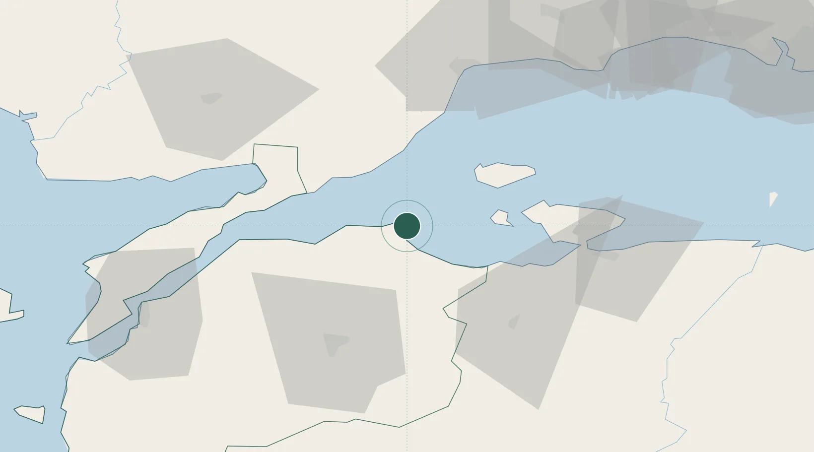
Nearby Logistics Neighbours

Cities
  1. 1Karabiga6 km
  2. 2Marmara Adasi18 km
  3. 3Saraylar39 km
  4. 4Erdek42 km
  5. 5Tekirdag53 km
Nearest neighbours — logibook spatial index (haversine) over the source coordinates
Ports
  1. 1Karabiga6 km
  2. 2Erdek43 km
  3. 3Gelibolu54 km
  4. 4Bandirma58 km
  5. 5Tekirdag62 km
Nearest neighbours — logibook spatial index (haversine) over the source coordinates
Airports
  1. 1Bandırma Airport59 km
  2. 2Keşan Air Base70 km
  3. 3Çanakkale Airport82 km
  4. 4Tekirdağ Çorlu Airport93 km
  5. 5Balıkesir Koca Seyit Airport103 km
Nearest neighbours — logibook spatial index (haversine) over the source coordinates
Trade Zones
  1. 1Mustafakemalpasa Organized Industrial Zone99 km
  2. 2European Free Zone101 km
  3. 3Balikesir Organized Industrial Zone106 km
  4. 4Cerkezkoy Organized Industrial Zone110 km
  5. 5Bursa Ihtisas Deri Organized Industrial Zone119 km
Nearest neighbours — logibook spatial index (haversine) over the source coordinates
DatabookThe Record of Consolidated Knowledge
Türkiye beyond logistics?
Browse databook

All Sources

LocationsUN/LOCODE
UN/LOCODE — free
Portsthe NGA World Port Index
Public domain (US gov)
AirportsOurAirports
Public domain
Trade Zonesthe World Bank SEZ database
CC BY 4.0
Trade ZonesOpen Zone Map
CC BY
← Türkiye locations