Runway & Layout

Airport Specifications
ICAO code
LTFL
Airport class
Medium airport
Scheduled service
No
Served city
Keşan
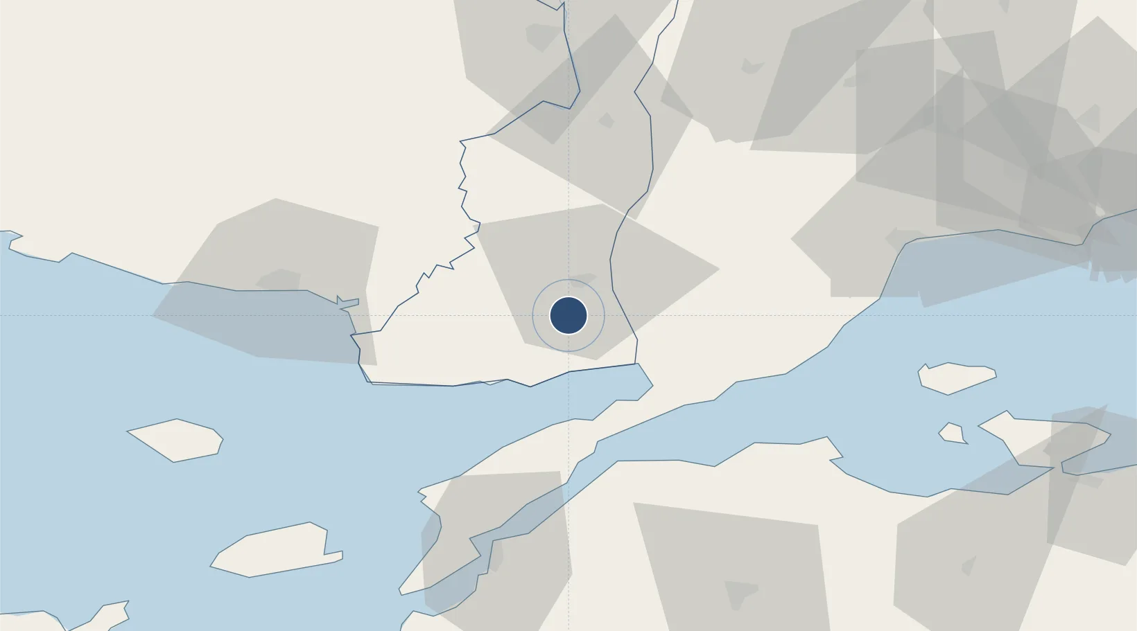
Location
Nearby Logistics Neighbours
Airports
- 1Alexandroupoli Democritus Airport55 km
- 2Çanakkale Airport74 km
- 3Tekirdağ Çorlu Airport117 km
- 4Bandırma Airport127 km
- 5Balıkesir Koca Seyit Airport142 km
Cities
- 1Enez46 km
- 2Souflíon52 km
- 3Uzunköprü54 km
- 4Alexandroúpolis63 km
- 5Icdas Jetty70 km
Ports
- 1Gelibolu43 km
- 2Alexandroupoli61 km
- 3Eceabat70 km
- 4Canakkale73 km
- 5Karabiga74 km
Trade Zones
DatabookThe Record of Consolidated Knowledge
Türkiye beyond logistics?