Medium airport · Türkiye

Bandırma AirportLTBG
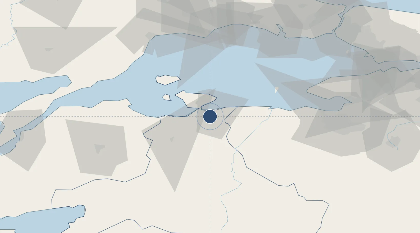
40.3180°, 27.9777°
9,875 ft
Longest runway
1
Runways
170 ft
Elevation

Runway & Layout

Bandırma Airport runway & taxiway layout
Runway & taxiway layout — OpenStreetMap (ODbL) / OurAirports

Radio Frequencies

ATIS
38.92 MHz
INFO
TWR
122.1 MHz
GND
25.125 MHz
APP
122.1 MHz
OurAirports

Navaids

BDM TACAN Bandirma 111.00 MHz
OurAirports

Runways · 1

RunwayDimensions SurfaceTrue headingLit
18/36 9,875 × 151ft Asphalt 181°
OurAirports

Airport Specifications

IATA code
BDM
OurAirports
ICAO code
LTBG
OurAirports
Airport class
Medium airport
OurAirports
Scheduled service
No
OurAirports
Runway surface
Asphalt
OurAirports
Served city
Bandırma
OurAirports

Location

Location of LTBG
Natural Earth 10m (public domain) · Balikesir · LTBG · 40.32, 27.98GoogleOSMYandex

Nearby Logistics Neighbours

Airports
  1. 1Balıkesir Airport78 km
  2. 2Tekirdağ Çorlu Airport91 km
  3. 3İstanbul Atatürk Airport102 km
  4. 4Balıkesir Koca Seyit Airport119 km
  5. 5İstanbul Airport124 km
Nearest neighbours — logibook spatial index (haversine) over the source coordinates
Cities
  1. 1Bandirma4 km
  2. 2Erdek18 km
  3. 3Marmara Adasi46 km
  4. 4Saraylar47 km
  5. 5Karabiga58 km
Nearest neighbours — logibook spatial index (haversine) over the source coordinates
Ports
  1. 1Bandirma4 km
  2. 2Erdek17 km
  3. 3Karabiga57 km
  4. 4Mudanya77 km
  5. 5Tekirdag84 km
Nearest neighbours — logibook spatial index (haversine) over the source coordinates
Trade Zones
  1. 1Mustafakemalpasa Organized Industrial Zone45 km
  2. 2Bursa Ihtisas Deri Organized Industrial Zone60 km
  3. 3Nilufer Organized Industrial Zone82 km
  4. 4Balikesir Organized Industrial Zone82 km
  5. 5Bursa Organized Industrial Zone84 km
Nearest neighbours — logibook spatial index (haversine) over the source coordinates
DatabookThe Record of Consolidated Knowledge
Türkiye beyond logistics?
Browse databook

All Sources

AirportsOurAirports
Public domain
Portsthe NGA World Port Index
Public domain (US gov)
LocationsUN/LOCODE
UN/LOCODE — free
Trade Zonesthe World Bank SEZ database
CC BY 4.0
Trade ZonesOpen Zone Map
CC BY
InfrastructureOpenStreetMap
ODbL 1.0
← Türkiye airports