Export Processing Zone · Türkiye

Istanbul Atatürk Airport Free Zone Active
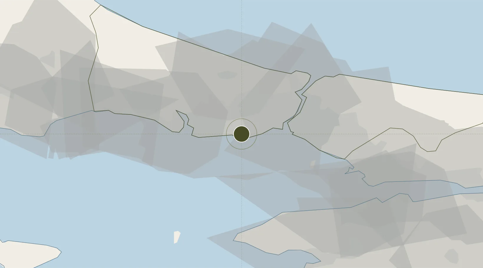
40.9830°, 28.8103°
1 ha
Zone area
9.4 km
Nearest port
1.7 km
Nearest airport

Gateway access

Nearest neighbours — logibook spatial index (haversine) over the source coordinates

Zone profile

Zone type
Export Processing Zone
Open Zone Map
Region
Istanbul
Open Zone Map
Status
Active
Open Zone Map
Management
Private
Open Zone Map
Operator
ISBI - Istanbul Ataturk Airport Free Zone Founder and Operator Incorporated
Open Zone Map
Legal framework
Free Zones Law: Law Nr. 3218 Approved: June 6, 1985
Open Zone Map

Location

Location of ozm-4551
Natural Earth 10m (public domain) · Istanbul · ozm-4551 · 40.98, 28.81GoogleOSMYandex

Nearby Logistics Neighbours

Ports
  1. 1Ambarli9 km
  2. 2Istanbul14 km
  3. 3Haydarpasa17 km
  4. 4Istinye25 km
  5. 5Gebze67 km
Nearest neighbours — logibook spatial index (haversine) over the source coordinates
Airports
  1. 1İstanbul Atatürk Airport2 km
  2. 2İstanbul Airport33 km
  3. 3İstanbul Samandıra Army Air Base34 km
  4. 4Istanbul Sabiha Gökçen International Airport43 km
  5. 5Tekirdağ Çorlu Airport77 km
Nearest neighbours — logibook spatial index (haversine) over the source coordinates
Cities
  1. 1Kumport4 km
  2. 2Istanbul9 km
  3. 3Ambarli9 km
  4. 4Firuzköy10 km
  5. 5Davutpasa11 km
Nearest neighbours — logibook spatial index (haversine) over the source coordinates
Trade Zones
  1. 1Istanbul Stock Exchange Free Zone24 km
  2. 2Istanbul Tracia Free Zone32 km
  3. 3Istanbul Leather Industry Free Zone49 km
  4. 4Gebze Organized Industrial Zone54 km
  5. 5TUBITAK Technology Free Zone and Technopark58 km
Nearest neighbours — logibook spatial index (haversine) over the source coordinates
DatabookThe Record of Consolidated Knowledge
Türkiye beyond logistics?
Browse databook

All Sources

Trade ZonesOpen Zone Map
CC BY
Portsthe NGA World Port Index
Public domain (US gov)
AirportsOurAirports
Public domain
LocationsUN/LOCODE
UN/LOCODE — free
← Türkiye trade zones