UN/LOCODE hub · Türkiye
TRTEK
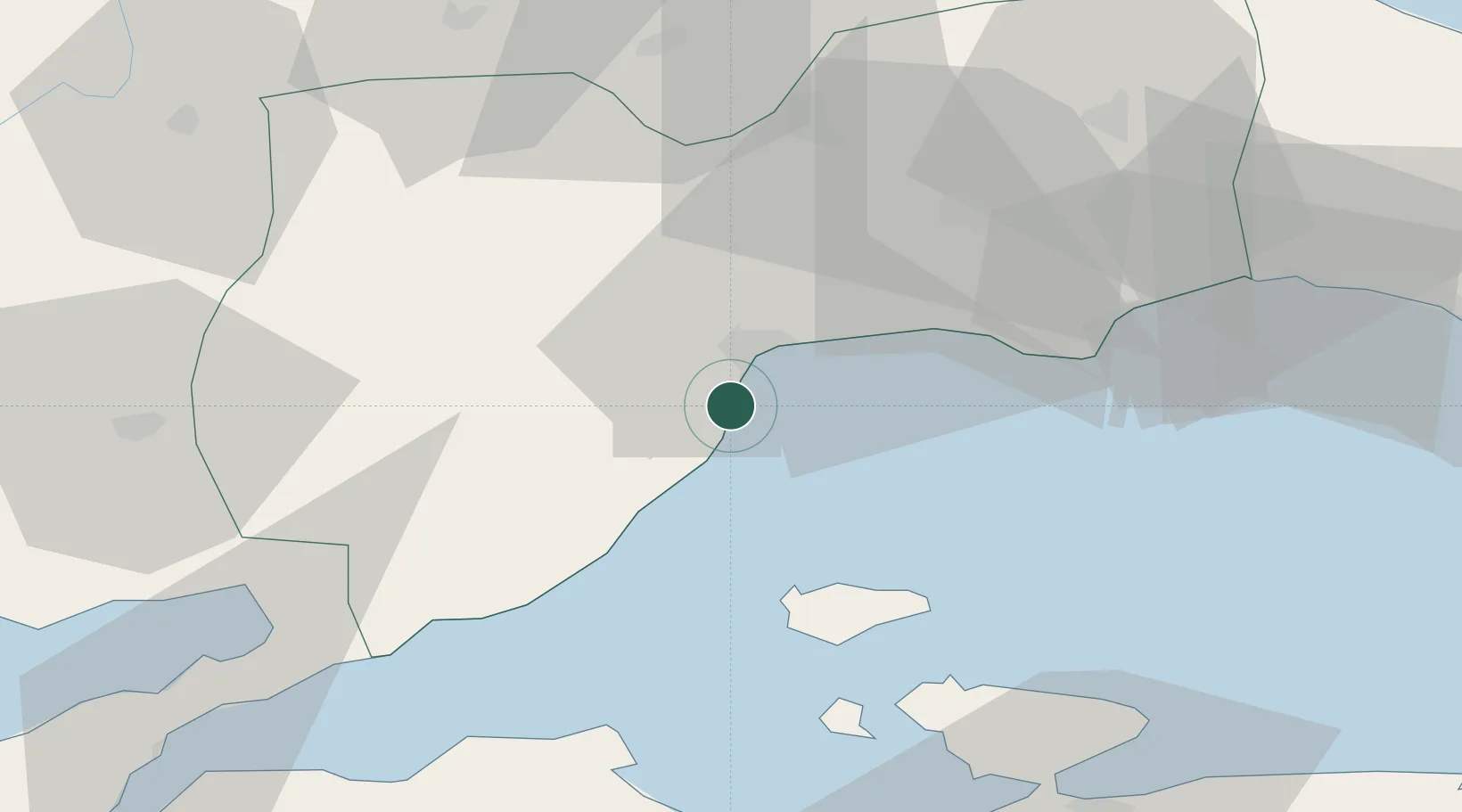
Tekirdag
40.9067°, 27.4582°
122,287
Population
4
Transport functions
1
Container terminals
Transport Functions
Port
Rail
Road
Airport
Hub Profile
Place type
Regional capital
Region
Tekirdağ
Population
122,287
Time zone
Europe/Istanbul
Elevation
44 m
Logistics facilities
8
Container terminals
1
Location
Nearby Logistics Neighbours
Cities
- 1Saraylar32 km
- 2Çorlu41 km
- 3Marmara Adasi45 km
- 4Icdas Jetty53 km
- 5Karabiga58 km
Airports
- 1Tekirdağ Çorlu Airport47 km
- 2Keşan Air Base73 km
- 3Bandırma Airport79 km
- 4İstanbul Airport114 km
- 5İstanbul Atatürk Airport115 km
Trade Zones
DatabookThe Record of Consolidated Knowledge
Türkiye beyond logistics?