Transport Functions
Port
Hub Profile
Region
10
Logistics facilities
1
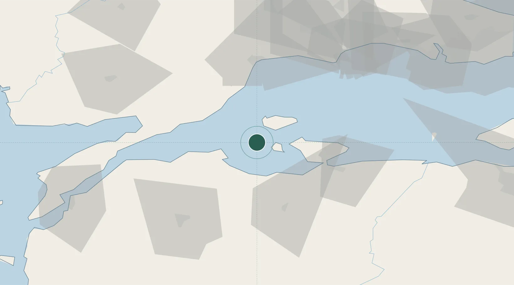
Location
Nearby Logistics Neighbours
Cities
- 1Icdas Jetty18 km
- 2Karabiga20 km
- 3Saraylar23 km
- 4Erdek28 km
- 5Bandirma43 km
Airports
- 1Bandırma Airport46 km
- 2Tekirdağ Çorlu Airport79 km
- 3Keşan Air Base81 km
- 4Çanakkale Airport100 km
- 5Balıkesir Airport105 km
DatabookThe Record of Consolidated Knowledge
Türkiye beyond logistics?