Transport Functions
Road
Multimodal
Hub Profile
Place type
Provincial seat
Region
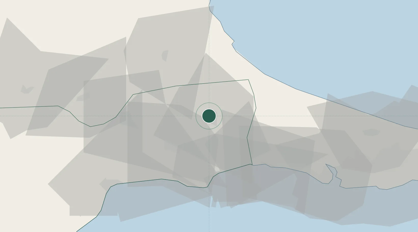
Tekirdağ
Time zone
Europe/Istanbul
Elevation
197 m
Location
Nearby Logistics Neighbours
Cities
- 1Çorlu22 km
- 2Silivri37 km
- 3Boyalik57 km
- 4Mimarsinan59 km
- 5Tekirdag62 km
Ports
- 1Tekirdag53 km
- 2Ambarli73 km
- 3Istanbul90 km
- 4Istinye93 km
- 5Haydarpasa95 km
Airports
- 1Tekirdağ Çorlu Airport20 km
- 2İstanbul Airport64 km
- 3İstanbul Atatürk Airport81 km
- 4İstanbul Samandıra Army Air Base111 km
- 5Bandırma Airport111 km
Trade Zones
DatabookThe Record of Consolidated Knowledge
Türkiye beyond logistics?