Channel & Berth Profile
Pilotage, Tugs & Services
Pilotage availableYES
Pilotage advisableYES
Potable waterYES
Facilities & Capabilities
Container—
Ro-Ro—
Liquid bulk—
Dry bulk—
Oil terminal—
Break bulk—
Dry dock—
RepairsNO
Bunkering—
Rail link—
Dangerous cargo—
ISPS security—
Harbour Specifications
Harbour size
Very Small
Harbour type
Canal or Lake
Shelter
Fair
Water body
Sea of Marmara; Mediterranean Sea; North Atlantic Ocean
Overhead limit
No
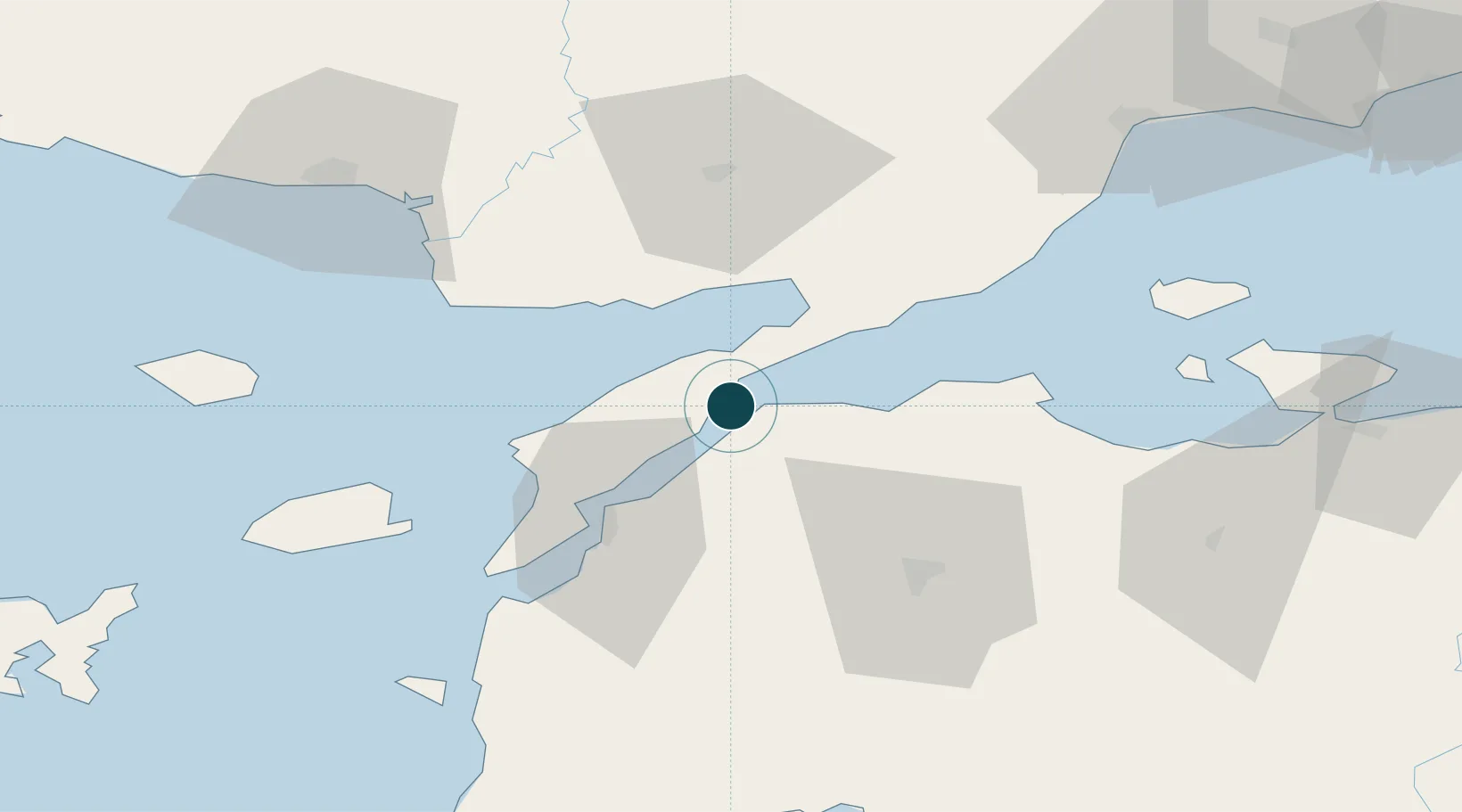
Location
Nearby Logistics Neighbours
Ports
- 1Eceabat35 km
- 2Canakkale36 km
- 3Karabiga55 km
- 4Alexandroupoli82 km
- 5Erdek96 km
Cities
- 1Çanakkale36 km
- 2Akcansa41 km
- 3Karabiga54 km
- 4Icdas Jetty54 km
- 5Enez62 km
Airports
- 1Çanakkale Airport36 km
- 2Keşan Air Base43 km
- 3Alexandroupoli Democritus Airport79 km
- 4Balıkesir Koca Seyit Airport99 km
- 5Bandırma Airport112 km
Trade Zones
DatabookThe Record of Consolidated Knowledge
Türkiye beyond logistics?