Large airport · Türkiye

İstanbul AirportLTFM
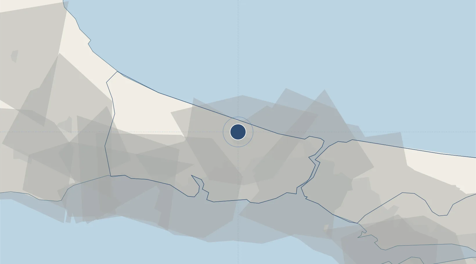
41.2749°, 28.7321°
13,451 ft
Longest runway
5
Runways
325 ft
Elevation

Runway & Layout

İstanbul Airport runway & taxiway layout
Runway & taxiway layout — OpenStreetMap (ODbL) / OurAirports

Radio Frequencies

TOWER
131.1 MHz
Istanbul Tower
GROUND
121.75 MHz
Istanbul Ground
Clearance
127.1 MHz
Istanbul Clearance Delivery
OurAirports

Runways · 5

RunwayDimensions SurfaceTrue headingLit
17L/35R 13,451 × 196ft Asphalt 174°
17R/35L 13,451 × 147ft Asphalt 174°
16L/34R 12,303 × 147ft Asphalt 174°
16R/34L 12,303 × 196ft Asphalt 174°
18/36 10,039 × 148ft Concrete 179°
OurAirports

Airport Specifications

IATA code
IST
OurAirports
ICAO code
LTFM
OurAirports
Airport class
Large airport
OurAirports
Scheduled service
Yes
OurAirports
Runway surface
Asphalt
OurAirports
Served city
Istanbul
OurAirports

Location

Location of LTFM
Natural Earth 10m (public domain) · Istanbul · LTFM · 41.27, 28.73GoogleOSMYandex

Nearby Logistics Neighbours

Airports
  1. 1İstanbul Atatürk Airport35 km
  2. 2İstanbul Samandıra Army Air Base51 km
  3. 3Istanbul Sabiha Gökçen International Airport64 km
  4. 4Tekirdağ Çorlu Airport70 km
  5. 5Bandırma Airport124 km
Nearest neighbours — logibook spatial index (haversine) over the source coordinates
Cities
  1. 1Boyalik15 km
  2. 2Istanbul30 km
  3. 3Firuzköy31 km
  4. 4Mimarsinan33 km
  5. 5Hasköy33 km
Nearest neighbours — logibook spatial index (haversine) over the source coordinates
Ports
  1. 1Istinye32 km
  2. 2Ambarli34 km
  3. 3Istanbul35 km
  4. 4Haydarpasa39 km
  5. 5Gebze89 km
Nearest neighbours — logibook spatial index (haversine) over the source coordinates
Trade Zones
  1. 1Istanbul Tracia Free Zone27 km
  2. 2Istanbul Stock Exchange Free Zone32 km
  3. 3Istanbul Atatürk Airport Free Zone33 km
  4. 4Cerkezkoy Organized Industrial Zone64 km
  5. 5Istanbul Leather Industry Free Zone70 km
Nearest neighbours — logibook spatial index (haversine) over the source coordinates
DatabookThe Record of Consolidated Knowledge
Türkiye beyond logistics?
Browse databook

All Sources

AirportsOurAirports
Public domain
Portsthe NGA World Port Index
Public domain (US gov)
LocationsUN/LOCODE
UN/LOCODE — free
Trade Zonesthe World Bank SEZ database
CC BY 4.0
Trade ZonesOpen Zone Map
CC BY
InfrastructureOpenStreetMap
ODbL 1.0
← Türkiye airports