Large airport · Türkiye

İstanbul Atatürk AirportLTBA
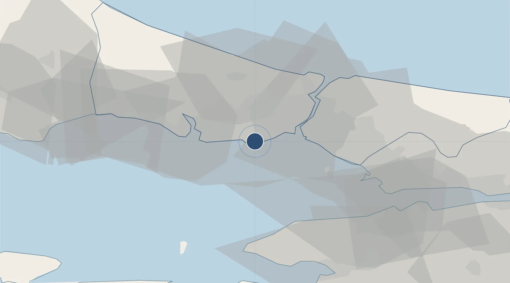
40.9719°, 28.8237°
8,530 ft
Longest runway
1
Runways
163 ft
Elevation

Runway & Layout

İstanbul Atatürk Airport runway & taxiway layout
Runway & taxiway layout — OpenStreetMap (ODbL) / OurAirports

Radio Frequencies

ATIS
128.2 MHz
TWR
118.1 MHz
YESILKOY TWR
GND
121.8 MHz
YESILKOY GND
CLD
121.7 MHz
YESILKOY DELIVERY
APP
120.5 MHz
YESILKOY APP
RMP
121.9 MHz
YESILKOY RAMP
OurAirports

Navaids

IST VORTAC Istanbul 112.50 MHz
OurAirports

Runways · 1

RunwayDimensions SurfaceTrue headingLit
05/23 8,530 × 197ft Asphalt 059°
OurAirports

Airport Specifications

IATA code
ISL
OurAirports
ICAO code
LTBA
OurAirports
Airport class
Large airport
OurAirports
Scheduled service
No
OurAirports
Runway surface
Asphalt
OurAirports
Served city
Istanbul(Bakırköy)
OurAirports

Location

Location of LTBA
Natural Earth 10m (public domain) · Istanbul · LTBA · 40.97, 28.82GoogleOSMYandex

Nearby Logistics Neighbours

Airports
  1. 1İstanbul Samandıra Army Air Base33 km
  2. 2İstanbul Airport35 km
  3. 3Istanbul Sabiha Gökçen International Airport42 km
  4. 4Tekirdağ Çorlu Airport78 km
  5. 5Bursa Yenişehir Airport101 km
Nearest neighbours — logibook spatial index (haversine) over the source coordinates
Cities
  1. 1Kumport3 km
  2. 2Davutpasa10 km
  3. 3Istanbul10 km
  4. 4Ambarli10 km
  5. 5Firuzköy11 km
Nearest neighbours — logibook spatial index (haversine) over the source coordinates
Ports
  1. 1Ambarli10 km
  2. 2Istanbul13 km
  3. 3Haydarpasa17 km
  4. 4Istinye25 km
  5. 5Gebze65 km
Nearest neighbours — logibook spatial index (haversine) over the source coordinates
Trade Zones
  1. 1Istanbul Atatürk Airport Free Zone2 km
  2. 2Istanbul Stock Exchange Free Zone24 km
  3. 3Istanbul Tracia Free Zone34 km
  4. 4Istanbul Leather Industry Free Zone48 km
  5. 5Gebze Organized Industrial Zone53 km
Nearest neighbours — logibook spatial index (haversine) over the source coordinates
DatabookThe Record of Consolidated Knowledge
Türkiye beyond logistics?
Browse databook

All Sources

AirportsOurAirports
Public domain
Portsthe NGA World Port Index
Public domain (US gov)
LocationsUN/LOCODE
UN/LOCODE — free
Trade Zonesthe World Bank SEZ database
CC BY 4.0
Trade ZonesOpen Zone Map
CC BY
InfrastructureOpenStreetMap
ODbL 1.0
← Türkiye airports