Transport Functions
Rail
Road
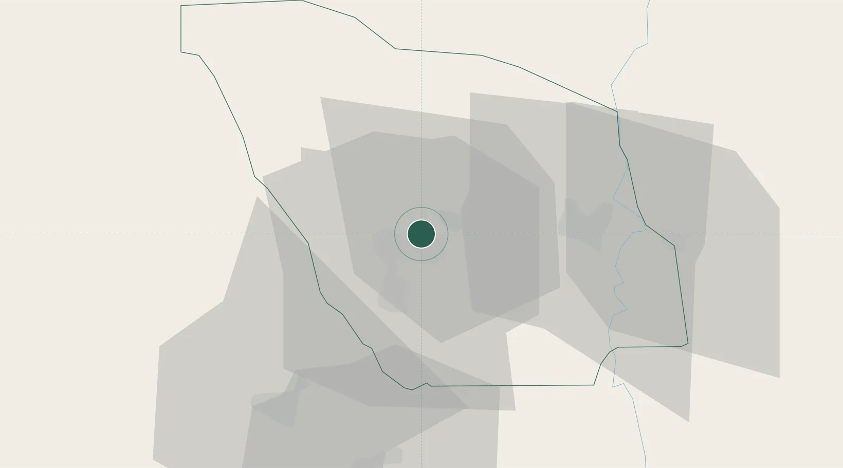
Hub Profile
Place type
Provincial seat
Region
Zou
Population
93,744
Time zone
Africa/Porto-Novo
Elevation
166 m
Location
Nearby Logistics Neighbours
Cities
- 1Cotonou87 km
- 2Glazoué89 km
- 3Porto-Novo100 km
- 4Akoko113 km
- 5Ado Odo117 km
Ports
- 1Cotonou103 km
- 2Kpeme127 km
- 3Lome147 km
- 4Tin Can Island170 km
- 5Lagos172 km
Airports
- 1Cotonou Cadjehoun International Airport100 km
- 2Lomé–Tokoin International Airport146 km
- 3Murtala Muhammed International Airport155 km
- 4Ho Airport183 km
- 5Ibadan Airport212 km
Trade Zones
DatabookThe Record of Consolidated Knowledge
Benin beyond logistics?