Transport Functions
Port
Road
Hub Profile
Place type
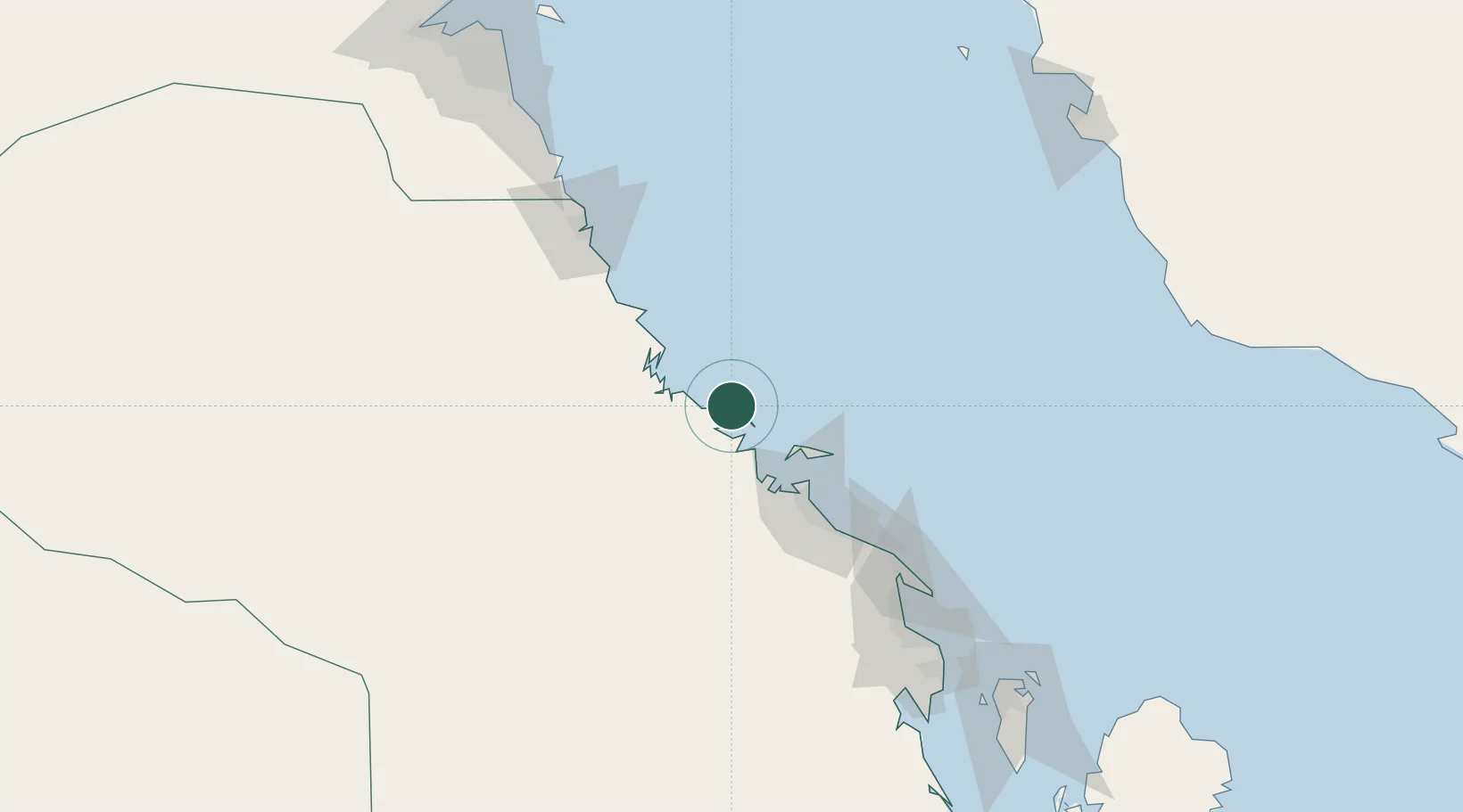
Populated place
Region
Eastern Province
Time zone
Asia/Riyadh
Elevation
7 m
Location
Nearby Logistics Neighbours
Cities
- 1Al Jubayl Industrial City72 km
- 2Jubail73 km
- 3Juaymah Terminal107 km
- 4Ras Tanura139 km
- 5Mina Al Zour152 km
Ports
- 1Al Jubayl69 km
- 2Ras Al Mishab84 km
- 3Ju Aymah Oil Terminal107 km
- 4Ras Al Khafji115 km
- 5Ras Tannurah140 km
Airports
- 1Ras Tanajib Airport55 km
- 2Jubail Airport60 km
- 3Ras Mishab Airport83 km
- 4Ras Tanura Airport123 km
- 5King Fahd International Airport134 km
Trade Zones
DatabookThe Record of Consolidated Knowledge
Saudi Arabia beyond logistics?