Seaport · Puerto Rico
San JuanPRSJU
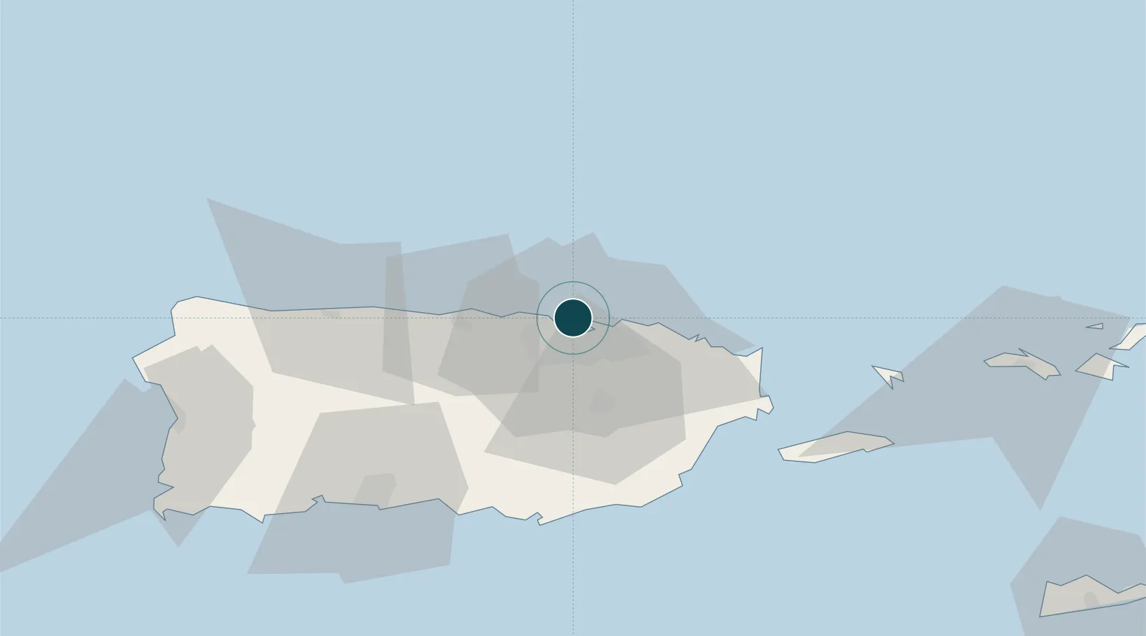
18.4667°, -66.1167°
9.4 m
Channel depth
3
Container terminals
117.4
Port liner connectivity
Channel & Berth Profile
Pilotage, Tugs & Services
Pilotage compulsoryYES
Pilotage availableYES
Pilotage advisableYES
Local assistanceYES
Tug assistanceYES
Shore powerYES
Potable waterYES
Diesel bunkersYES
MedicalYES
Garbage disposalYES
Facilities & Capabilities
Container—
Ro-Ro—
Liquid bulk—
Dry bulk—
Oil terminal—
Break bulk—
Dry dockNO
RepairsNO
BunkeringYES
Rail link—
Dangerous cargo—
ISPS security—
Harbour Specifications
Harbour size
Small
Harbour type
Open Roadstead
Shelter
Excellent
Water body
North Atlantic Ocean
Pilotage
Yes
Liner Connectivity
117.4
PLSCI
Port Liner Shipping Connectivity Index for San Juan, as published by UNCTAD for the latest available quarter. Higher values indicate stronger scheduled liner-shipping integration.
Shown relative to the highest per-port PLSCI in the dataset (1,657.9).
Location
Container Terminals · 3
ISLA GRANDE TERMINAL
IGT CROWLEY LOGISTICS
LUIS AYALA COLON TERMINAL
LACS PUERTO NUEVO TERMINALS (PNT)
PUERTO RICO TERMINALS (PRT)
PRT PUERTO NUEVO TERMINALS (PNT)
Nearby Logistics Neighbours
Ports
- 1Playa De Humacao51 km
- 2Bahia De Fajardo53 km
- 3Puerto Yabucoa55 km
- 4Arroyo56 km
- 5Las Mareas58 km
Cities
- 1Ponce5 km
- 2Trujillo Bajo, Carolina21 km
- 3Las Pinas32 km
- 4Río Grande34 km
- 5Puerto Yabucoa55 km
Airports
Trade Zones
- 1FTZ No. 061 San Juan9 km
- 2FTZ No. 163 Ponce69 km
- 3FTZ No. 007 Mayaguez114 km
- 4Punta Cana Airport237 km
- 5Zona Franca Industrial Higuey274 km
DatabookThe Record of Consolidated Knowledge
Puerto Rico beyond logistics?